


24 km | 30 km-effort

Randonnez sur et autour des GR ® wallons (Sentiers de Grande Randonnée). PRO


Application GPS de randonnée GRATUITE
 SityTrail
IGN / Instituts géographiques
SityTrail World
Le monde est à vous
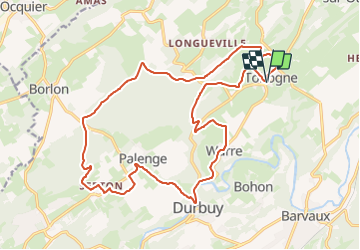
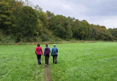
Randonnée Marche de 19,8 km à découvrir à Wallonie, Luxembourg, Durbuy. Cette randonnée est proposée par GR Rando.
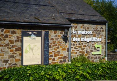
Tohogne, Warre, Durbuy, Palenge, Tohogne
Cartographie et documentation :
Cartes IGN au 1 : 20 000, 48/7-8 « Modave – Clavier », 49/5-6 « Hamoir – Ferrières », 54/3-4 « Maffe – Somme-Leuze » et 55/1-2 « Durbuy – Erezée ».
Carte de promenades IGN « Durbuy » au 1 : 10 000 (et au verso au 1 : 37 500) – Éditeur : Royal Syndicat d’Initiative et de Tourisme de Durbuy.
Topo-guide du GR 57 « Vallée de l’Ourthe et Sentier du Nord ».
Topo-guide du GR 576 « Tour du Condroz liégeois ».
Où se désaltérer et se restaurer :
Tohogne ne peut rien vous offrir à cet égard.
À Ocquier, il y a une brasserie-friterie-restaurant et un hôtel-restaurant de standing.
Les centres touristiques de Hamoir, Durbuy, Barvaux et Bomal sont tout proches.


Marche
Marche

Marche

Marche
Vélo

Marche
Marche
Marche
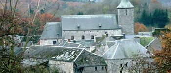
tohogne