


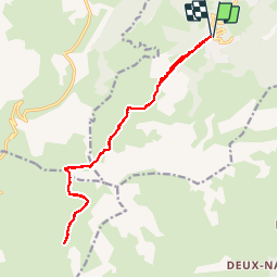

18,1 km | 34 km-effort

Utilisateur


Application GPS de randonnée GRATUITE
 SityTrail
IGN / Instituts géographiques
SityTrail World
Le monde est à vous
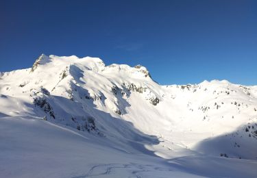
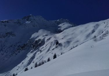
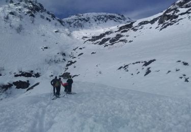
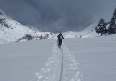
Randonnée Marche de 16,9 km à découvrir à Auvergne-Rhône-Alpes, Savoie, Les Avanchers-Valmorel. Cette randonnée est proposée par zazie.
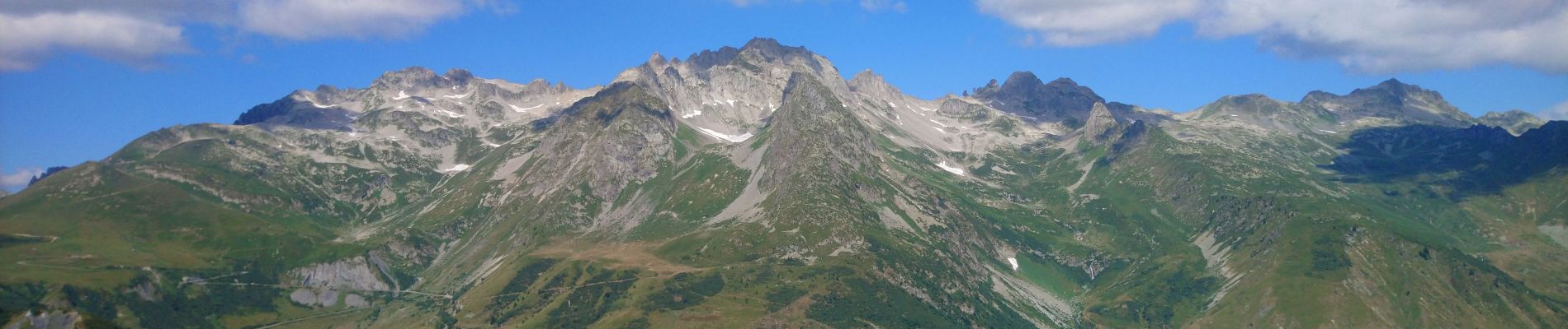
Montée par l'altispace de Valmorel aux voiles de Nant. Passage sous le cheval noir, lacs blanc et bleu. Retour par le même chemin.


Marche

Ski de randonnée

Ski de randonnée
Ski de randonnée
Ski de randonnée
Ski de randonnée
Ski de randonnée
Ski de randonnée
Ski de randonnée