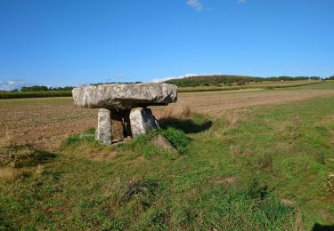
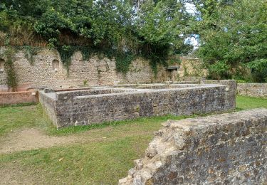
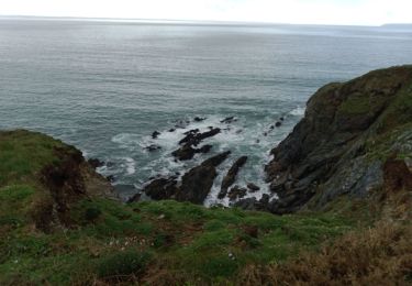
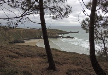
12,2 km | 15 km-effort
moulin cameros-rue j.marie le Bris
ThevenotEvelyne
Utilisateur
Longueur
13,4 km
Altitude max
39 m
Dénivelé positif
202 m
Km-Effort
16,1 km
Altitude min
0 m
Dénivelé négatif
202 m
Boucle
Non
Date de création :
2019-08-03 10:25:47.288
Dernière modification :
2019-08-03 15:24:51.825
4h37
Difficulté : Très facile
Application GPS de randonnée GRATUITE
À propos
Randonnée Marche de 13,4 km à découvrir à Bretagne, Finistère, Argol. Cette randonnée est proposée par ThevenotEvelyne.
Localisation
Pays :
France
Région :
Bretagne
Département/Province :
Finistère
Commune :
Argol
Localité :
Unknown
Départ:(Dec)
Départ:(UTM)
401808 ; 5339811 (30U) N.
Commentaires
Randonnées à proximité
Saint Nic - boucle Ménez Hom et Dolmen de Ménez Lié - 11.1km 305m 3h10 - 2019...
Marche
Facile
Saint-Nic,
Bretagne,
Finistère,
France
11,1 km | 15,2 km-effort
3h 10min
Oui
TELGRUC
Marche
Facile
Telgruc-sur-Mer,
Bretagne,
Finistère,
France
13,2 km | 16,2 km-effort
3h 40min
Oui
TELGRUC
Marche
Difficile
Telgruc-sur-Mer,
Bretagne,
Finistère,
France
10,6 km | 13,8 km-effort
3h 8min
Oui
teldruc yrez,_bellec
Marche nordique
Très facile
Telgruc-sur-Mer,
Bretagne,
Finistère,
France
13,6 km | 17,6 km-effort
3h 5min
Oui
PLOMODIERN
Marche
Facile
Plomodiern,
Bretagne,
Finistère,
France
13,2 km | 16,4 km-effort
3h 1min
Oui
TELGRUC
Marche
Facile
Telgruc-sur-Mer,
Bretagne,
Finistère,
France
12,7 km | 15,7 km-effort
3h 16min
Oui
les chemins de Telgruc
Marche
Facile
(1)
Telgruc-sur-Mer,
Bretagne,
Finistère,
France
13,2 km | 16,1 km-effort
3h 45min
Oui
Telgruc
Marche
Moyen
(1)
Telgruc-sur-Mer,
Bretagne,
Finistère,
France
16,3 km | 21 km-effort
Inconnu
Oui