


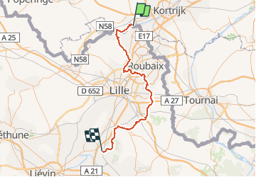

12 km | 13,2 km-effort

Utilisateur


Application GPS de randonnée GRATUITE
 SityTrail
IGN / Instituts géographiques
SityTrail World
Le monde est à vous
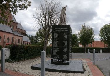
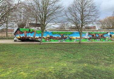
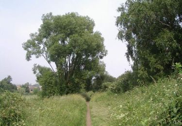
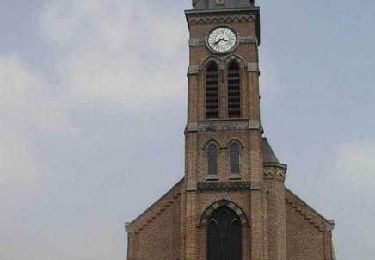
Randonnée Marche de 67 km à découvrir à Flandre, Flandre-Occidentale, Menin. Cette randonnée est proposée par Pacotille.
Chemin de Compostelle entre la Frontière belge et le Pas de Calais (entre Halluin et Libercourt). Le chemin est balisé et continue ensuite vers Arras, Amiens, Paris ou Chartres...


Marche
A pied
A pied
A pied
Marche
Marche

Marche
Marche
Marche