


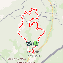

15 km | 21 km-effort


Utilisateur


Application GPS de randonnée GRATUITE
 SityTrail
IGN / Instituts géographiques
SityTrail World
Le monde est à vous
Randonnée Marche de 21 km à découvrir à Bourgogne-Franche-Comté, Doubs, Chapelle-des-Bois. Cette randonnée est proposée par maupassant38.
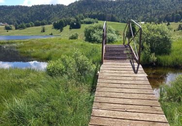
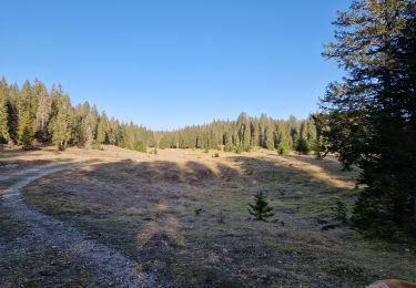
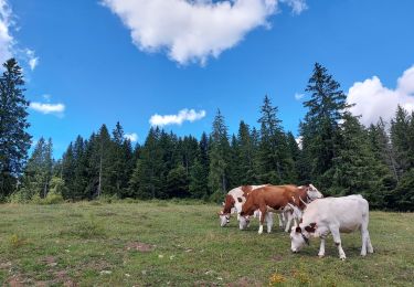
Circuit nature hors sentiers balisés- valloné
Nécessite bonne connaissance cartographie et orientation
Plutôt pantalon que short

Marche

Marche

Marche
Marche

V.T.C.
Marche

Raquettes à neige

Marche
Marche