


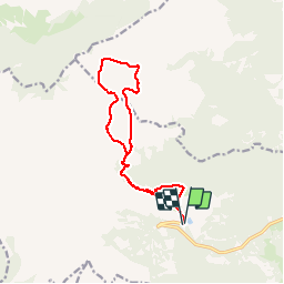


6,5 km | 14,5 km-effort

Utilisateur

Application GPS de randonnée GRATUITE
 SityTrail
IGN / Instituts géographiques
SityTrail World
Le monde est à vous
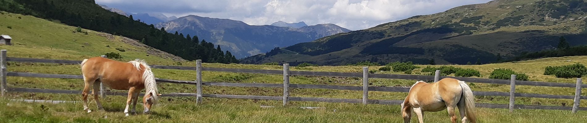
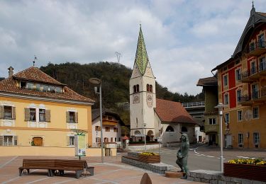
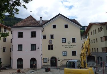
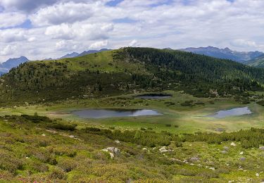
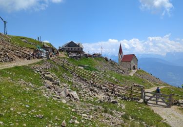
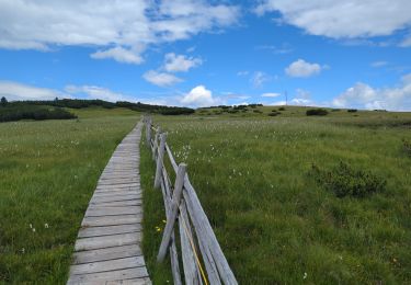
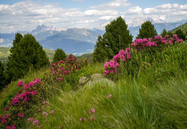
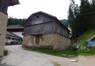
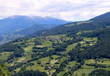
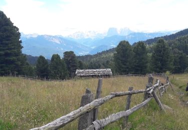
Randonnée Marche de 13 km à découvrir à Trentin-Haut-Adige, Haut-Adige, Villanders - Villandro. Cette randonnée est proposée par VacheKiri67.


39 photos au total. Cliquez sur une photo pour les afficher toutes dans la galerie.
A pied
A pied
A pied
Marche
Marche
A pied
A pied
A pied
Marche