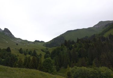
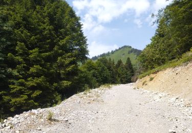
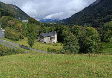
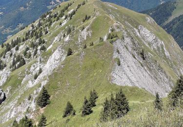
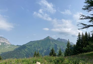
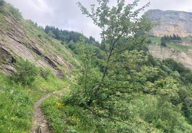
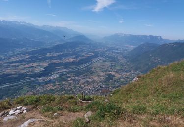
Randonnée Marche Cléry - retour grand roc  - Photo
 arnaud.thery
arnaud.thery

Utilisateur

© OpenStreetMap contributors
Longueur
Longueur
8,4 km
Altitude max
Altitude max
1804 m
Dénivelé positif
Dénivelé positif
334 m
Km-Effort
Km-Effort  
15,5 km
Altitude min
Altitude min
717 m
Dénivelé négatif
Dénivelé négatif
1141 m
Boucle
Boucle
Non
Date de création :
2014-12-10 00:00:00.0
Dernière modification :
2014-12-10 00:00:00.0

(0 Avis)

Marche
Marche
3h51
Difficulté : Inconnu

Scannez ce code QR pour ouvrir la randonnée dans l'application SityTrail

Application GPS de randonnée GRATUITE

Logo SityTrail SityTrail

IGN / Instituts géographiques

Télécharger SityTrail sur l'App Store Télécharger SityTrail sur Google Play

Logo SityTrail SityTrail World

Le monde est à vous

Télécharger SityTrail sur l'App Store Télécharger SityTrail sur Google Play Télécharger SityTrail sur Huawei AppGallery

À propos

Randonnée Marche de 8,4 km à découvrir à Auvergne-Rhône-Alpes, Savoie, Cléry. Cette randonnée est proposée par arnaud.thery.

Description

p 2

Profil altimétrique

Localisation

Pays :
France
Région :
Auvergne-Rhône-Alpes
Département/Province :
Savoie
Commune :
Cléry
Localité :
Unknown
Départ:(Dec)
Départ:(UTM)
287149 ; 5059088 (32T) N.

Randonnées à proximité

Randonnée Marche Plancherine - chalet de Drison à nant fourchu  - Photo
Marche
GUIDE
nadd73

Marche

Moyen
Plancherine, Auvergne-Rhône-Alpes, Savoie, France
9,6 km | 18,3 km-effort
3h 23min
Non
Randonnée Marche Jarsy - parc à moutons  - Photo
Marche
GUIDE
nadd73

Marche

Moyen
Jarsy, Auvergne-Rhône-Alpes, Savoie, France
11,3 km | 25 km-effort
6h 0min
Non
Randonnée Marche École - Dent et col d'Arclusaz par le col de la cochette - Photo
Marche
GUIDE
nadd73

Marche

Difficile
École, Auvergne-Rhône-Alpes, Savoie, France
15,9 km | 33 km-effort
6h 18min
Oui
Randonnée Marche Jarsy - col orgeval - Photo
Marche
remy7436

Marche

Facile
(1)
Jarsy, Auvergne-Rhône-Alpes, Savoie, France
11,9 km | 22 km-effort
Inconnu
Oui
Randonnée Marche Plancherine - Abbaye de Tamié - Photo
Marche
apa

Marche

Facile
Plancherine, Auvergne-Rhône-Alpes, Savoie, France
5,9 km | 8,1 km-effort
2h 12min
Non
Randonnée Marche École - Pointe des Arlicots  - Photo
Marche
Annie21

Marche

Difficile
École, Auvergne-Rhône-Alpes, Savoie, France
13,4 km | 29 km-effort
8h 0min
Oui
Randonnée Marche Cléry - Chalet de la balme col de la fougère  - Photo
Marche
000076.453eeca5ff404f899beaf0e291c65c64.0750

Marche

Difficile
Cléry, Auvergne-Rhône-Alpes, Savoie, France
10,6 km | 21 km-effort
3h 51min
Oui
Randonnée Marche Cléry - Chalet balme chemin col fougères  - Photo
Marche
000076.453eeca5ff404f899beaf0e291c65c64.0750

Marche

Moyen
Cléry, Auvergne-Rhône-Alpes, Savoie, France
9,1 km | 18 km-effort
2h 57min
Oui
Randonnée Marche École - BAUGES: COL D'ARCLUSAZ - Photo
Marche
djeepee74

Marche

Difficile
École, Auvergne-Rhône-Alpes, Savoie, France
15,8 km | 29 km-effort
5h 45min
Oui


Fermer
Mes abonnements