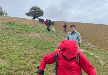
rozes SityTrail > Randonnées > Outdoor > France > Occitanie > Gers > Rozès SityTrail > Randonnées > Outdoor > France > Occitanie > Gers > Rozès rozes Arelaune Utilisateur 3D © OpenStreetMap contributors Longueur 3,6 km Altitude max 187 m Dénivelé positif 76 m Km-Effort 4,6 km Altitude min 104 m Dénivelé négatif 80 m Boucle Oui Date de création : 2019-07-31 14:57:52.98 Dernière modification : 2019-07-31 16:32:08.322 (0 Avis) Marche 1h26 Difficulté : Très facile Application GPS de randonnée GRATUITE SityTrail IGN / Instituts géographiques SityTrail World Le monde est à vous À propos Randonnée Marche de 3,6 km à découvrir à Occitanie, Gers, Rozès. Cette randonnée est proposée par Arelaune. Légendes | Plus de détails (PDF) Profil altimétrique Légendes > 15% 15% - 10% 10% - 5% à plat 5% - 10% 10% - 15% 15% - 30% > 30% Localisation Pays : France Région : Occitanie Département/Province : Gers Commune : Rozès Localité : Unknown Départ:(Dec) 43.8007918 / 0.3736089 Départ:(UTM) 288725 ; 4853100 (31T) N. Commentaires Veuillez vous connecter pour laisser un commentaire ou une note Arelaune 2019-07-31 16:34:09.924 vers chez Odile Randonnées à proximité papounet32 GRP Gascogne Marche Très difficile Castéra-Verduzan, Occitanie, Gers, France 15,8 km | 19,4 km-effort 3h 45min Non papounet32 Lagardere Marche Moyen Lagardère, Occitanie, Gers, France 7,2 km | 8,8 km-effort 1h 51min Non rvs147 32-02-Au Cœur de Gascogne Auch-27km-102-5552- Marche Moyen Castéra-Verduzan, Occitanie, Gers, France 27 km | 33 km-effort 7h 6min Non jeanpoisson Gers Vélo de route Castéra-Verduzan, Occitanie, Gers, France 34 km | 41 km-effort 2h 4min Non Arelaune bezolles Marche Très facile Rozès, Occitanie, Gers, France 7,9 km | 10,1 km-effort 1h 54min Oui Arelaune rozes1 vicfamily Marche Très facile Rozès, Occitanie, Gers, France 5,4 km | 7,2 km-effort 1h 35min Oui potofe Lagardère - Les châteaux gascons Perso Cyclotourisme Très difficile Lagardère, Occitanie, Gers, France 56 km | 68 km-effort Inconnu Oui
vers chez Odile