


23 km | 28 km-effort

Utilisateur


Application GPS de randonnée GRATUITE
 SityTrail
IGN / Instituts géographiques
SityTrail World
Le monde est à vous
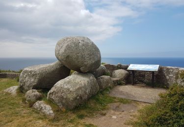
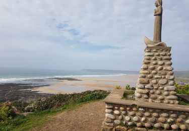
Randonnée V.T.T. de 60 km à découvrir à Normandie, Manche, Flamanville. Cette randonnée est proposée par tracegps.
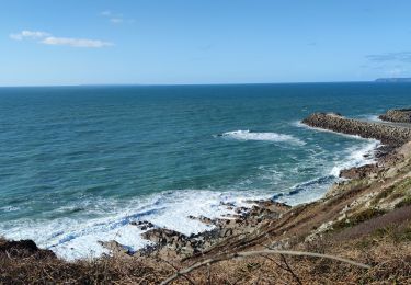
Randonnée pratiquée dans le cadre de la "Rando des Caps" organisée par le club cache rando dont je félicite l'organisation ainsi que les sympathiques bénévoles qui nous ont bichonnés pendant les ravitaillements. Le club "VTT les Haguards" vous invite à venir nous rejoindre les dimanches matins à 8h45 dans un rayon de 20 km autour de Cherbourg afin de découvrir de fabuleux sentiers dans une ambiance conviviale. Nous roulons environ 2h30 et parcourons environ 25 km. Les Haguards c'est aussi des adhérents qui n'hésitent pas à se déplacer sur des épreuves réputées dans tous l'hexagone tel que "La Gamelle Trophy, la Jean Racine, le roc d'azur, les Sentiers de la Hague^^ etc......"...


Marche
Marche
Marche

V.T.T.

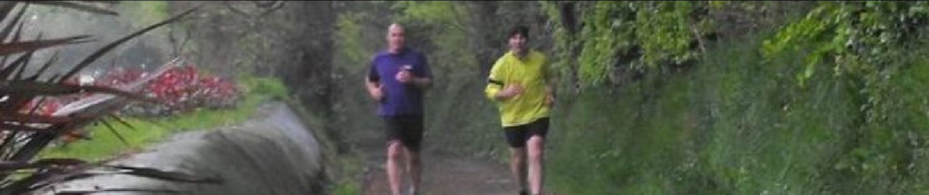
Course à pied

Marche
Marche
Marche