


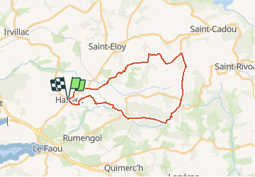


18,3 km | 25 km-effort

Utilisateur


Application GPS de randonnée GRATUITE
 SityTrail
IGN / Instituts géographiques
SityTrail World
Le monde est à vous
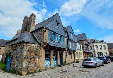
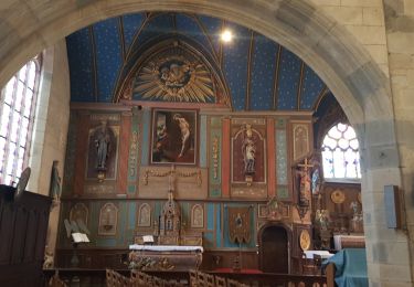
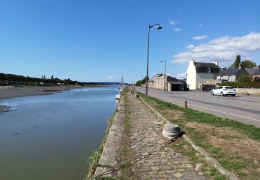
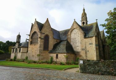
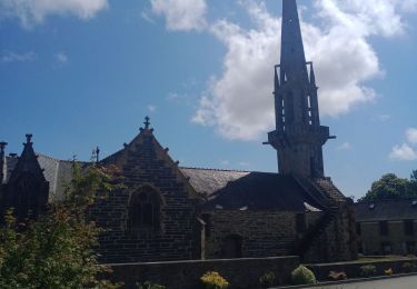
Randonnée Marche de 26 km à découvrir à Bretagne, Finistère, Hanvec. Cette randonnée est proposée par tracegps.
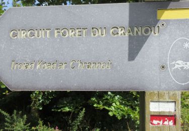
Randonnée Cranou Monts D'Arrée Topo guide FFR "Parc Régional d'Armorique" Longue rando de 26 Km passant par la forêt du Cranou, le Menez Meur, les crêtes....


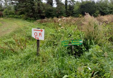
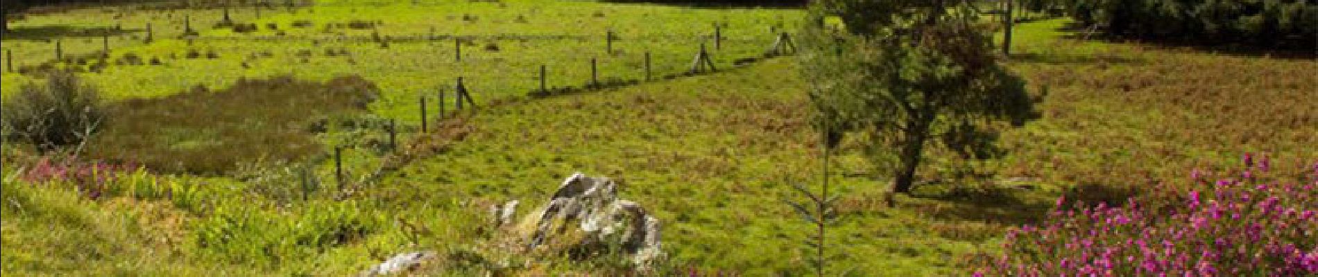
Marche
A pied
Marche
Marche
Marche
Marche
Marche
Marche