


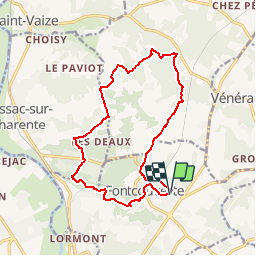

7,2 km | 8,5 km-effort

Utilisateur


Application GPS de randonnée GRATUITE
 SityTrail
IGN / Instituts géographiques
SityTrail World
Le monde est à vous
Randonnée V.T.T. de 15,5 km à découvrir à Nouvelle-Aquitaine, Charente-Maritime, Fontcouverte. Cette randonnée est proposée par tracegps.
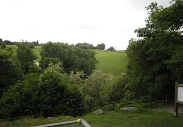
Un tour assez technique avec de bonnes descentes dans les bois et des montées faciles à très difficiles. De beaux paysages.


Cheval

Marche

Marche
Marche

Autre activité
Marche
Marche
V.T.T.

V.T.T.