


9,3 km | 11,4 km-effort

Utilisateur


Application GPS de randonnée GRATUITE
 SityTrail
IGN / Instituts géographiques
SityTrail World
Le monde est à vous
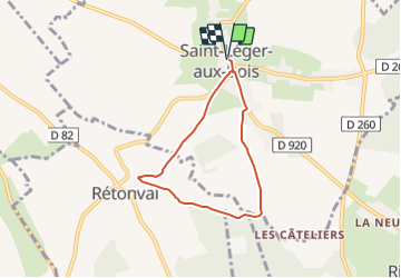
Randonnée Marche de 5,2 km à découvrir à Normandie, Seine-Maritime, Saint-Léger-aux-Bois. Cette randonnée est proposée par tracegps.
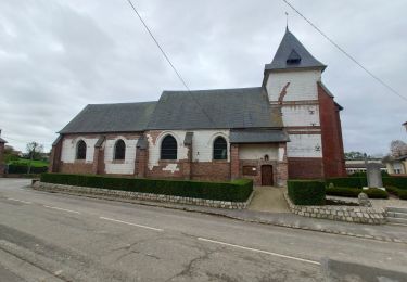
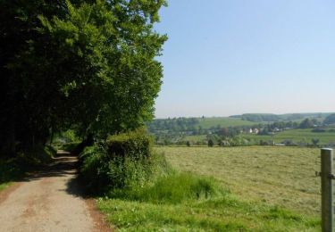
Circuit proposé par l'Office de Tourisme de Blangy sur Bresle. Départ de l'église, passer devant la Tour des Ducs de Mailly, puis prendre la D116 vers Rétonval. Prendre le chemin herbeux au niveau du virage que l'on poursuit jusqu'à une belle vue sur Rétonval. Après la descente, prendre à gauche en direction de la forêt dont on suit la lisière. A la sortie de la forêt, partir à gauche et on finit par rattraper la D920 que l'on prend de nouveau sur la gauche pour rejoindre le départ. Retrouvez le plan de l'ensemble des circuits sur le site de l'Office de Tourisme de Blangy sur Bresle.
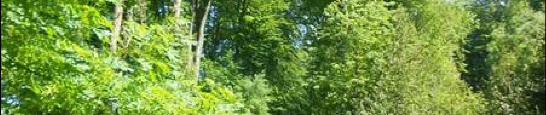
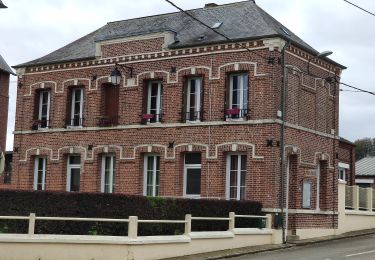
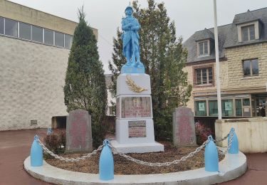
 - Saint-Léger-aux-Bois - Photo 1")
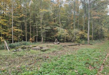
 - Saint-Léger-aux-Bois - Photo 2")
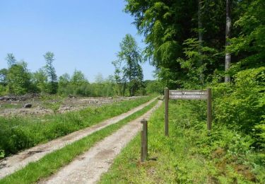
 - Saint-Léger-aux-Bois - Photo 3")
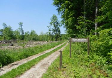
 - Saint-Léger-aux-Bois - Photo 4")
 - Saint-Léger-aux-Bois - Photo 5")
A pied
A pied
A pied
A pied
A pied

Cheval
V.T.T.
Marche
Cheval