


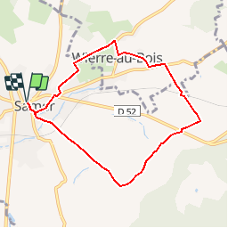


10,7 km | 13,2 km-effort

Utilisateur


Application GPS de randonnée GRATUITE
 SityTrail
IGN / Instituts géographiques
SityTrail World
Le monde est à vous
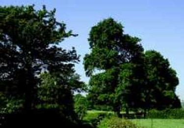
Randonnée Marche de 7 km à découvrir à Hauts-de-France, Pas-de-Calais, Samer. Cette randonnée est proposée par tracegps.
Balade idéale en famille autour de Samer, découverte du village de Wierre au Bois et son manoir de Sainte-Beuve, le plus grand manoir du Boulonnais.


Marche
Marche

V.T.T.
Marche

V.T.T.
V.T.T.

Marche

Marche
Marche