


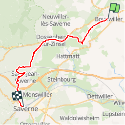

11,6 km | 17,3 km-effort

Utilisateur


Application GPS de randonnée GRATUITE
 SityTrail
IGN / Instituts géographiques
SityTrail World
Le monde est à vous
Randonnée Marche de 21 km à découvrir à Grand Est, Bas-Rhin, Bouxwiller. Cette randonnée est proposée par tracegps.
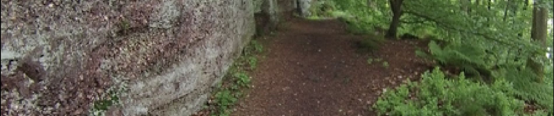
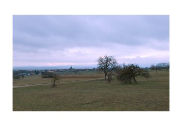
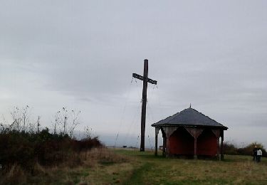
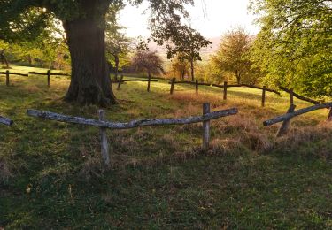
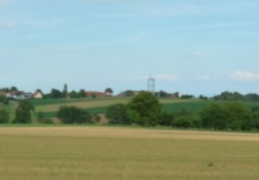
Très jolie balade variée, sans grandes difficultés, qui se découpe nettement en deux parties: la première traverse des paysages ouverts de prairies, vergers et vignes donnant des points de vue sur l’Alsace bossue, vaste ondulation parsemée de villages. La deuxième moitié de la randonnée s’attaque au piémont des Vosges et amène le randonneur à travers un parcours forestier, sur des sites archéologiques comme l’oppidum d’Heidenstadt, le château ruiné de Warthenberg au rocher Daubenschlag.


A pied
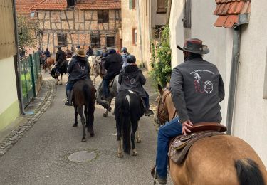
Randonnée équestre
A pied
Marche

Marche
Marche
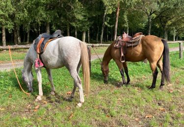
Randonnée équestre
Marche
Randonnée équestre