


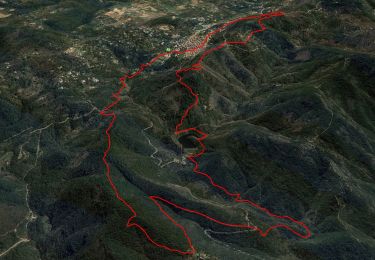
12,5 km | 19,3 km-effort

Utilisateur


Application GPS de randonnée GRATUITE
 SityTrail
IGN / Instituts géographiques
SityTrail World
Le monde est à vous
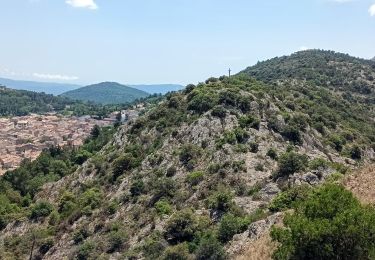
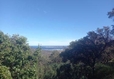
Randonnée Marche de 6,5 km à découvrir à Provence-Alpes-Côte d'Azur, Var, La Garde-Freinet. Cette randonnée est proposée par tracegps.
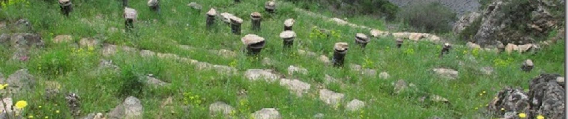
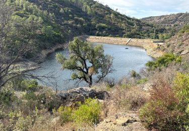
Ce beau sentier passe par un rucher du XVII siècle restauré et réhabilité récemment. Le circuit rejoint le chemin des Neuf Riaux où se trouvent les vestiges du Moulin à Eau de Blanche.


Marche

Marche
Marche
Marche
A pied
Marche
Marche
Marche
Marche