


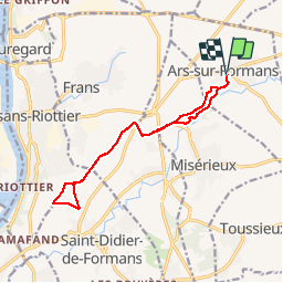

12,7 km | 14 km-effort


Utilisateur


Application GPS de randonnée GRATUITE
 SityTrail
IGN / Instituts géographiques
SityTrail World
Le monde est à vous
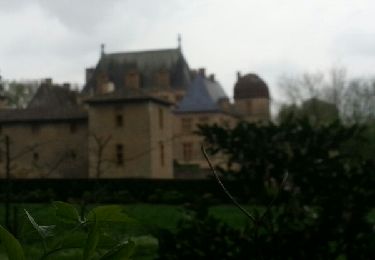
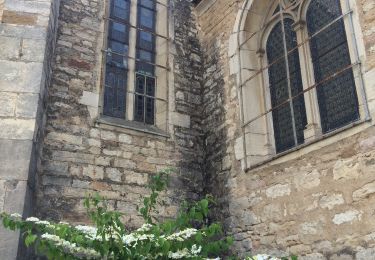
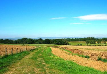
Randonnée Marche de 13,1 km à découvrir à Auvergne-Rhône-Alpes, Ain, Ars-sur-Formans. Cette randonnée est proposée par Thomasdanielle.
D/A : Chemin des Muriers : traverser le bois de Cibeins passer devant le lycée puis aller direction de Jassans par les chemins
Marche
Marche
Marche
Marche

Marche
Marche
Marche

Randonnée équestre

Marche