


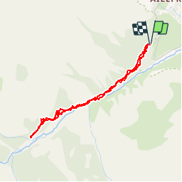

14,5 km | 28 km-effort


Utilisateur


Application GPS de randonnée GRATUITE
 SityTrail
IGN / Instituts géographiques
SityTrail World
Le monde est à vous
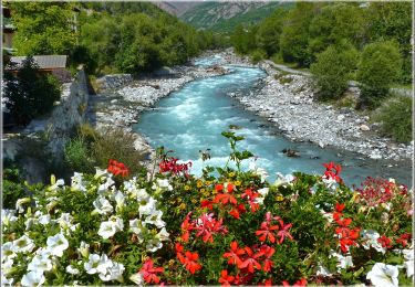
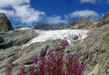
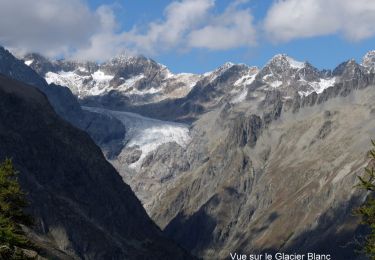
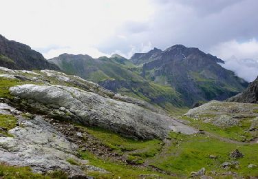
Randonnée Marche de 4 km à découvrir à Provence-Alpes-Côte d'Azur, Hautes-Alpes, Vallouise-Pelvoux. Cette randonnée est proposée par sergio19.
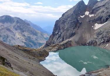
Sortie chamois à faire le soir
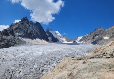
Si pas dans ce secteur continuer sur le sentier
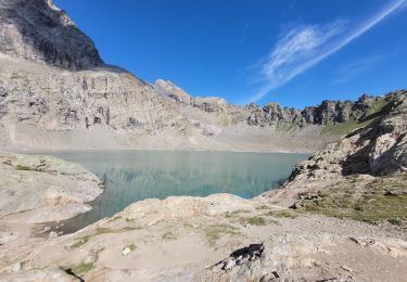
Ne pas tenir compte de la durée
Marche

Marche
Marche
Marche
A pied
A pied
Marche
Marche
Marche