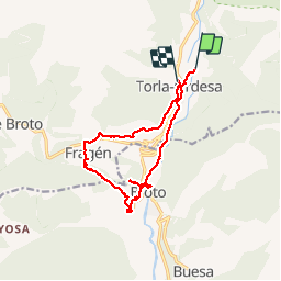


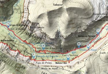
21 km | 0 m-effort

Utilisateur GUIDE


Application GPS de randonnée GRATUITE
 SityTrail
IGN / Instituts géographiques
SityTrail World
Le monde est à vous
Randonnée Marche de 13,8 km à découvrir à Aragon, Huesca, Torla-Ordesa. Cette randonnée est proposée par rvapeldo.
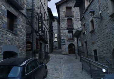
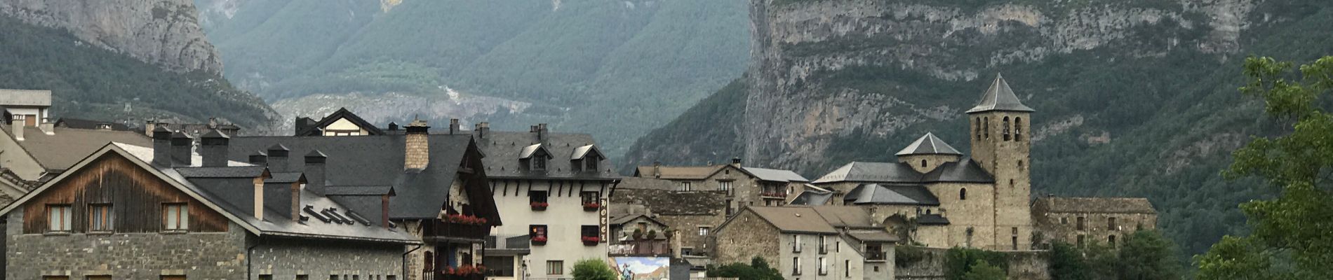
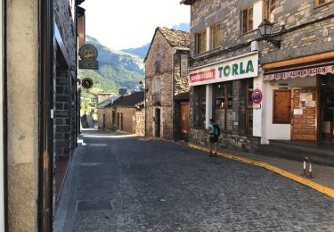
Balade à la découverte de Broto et des environs, au départ de Torla. Ici nous partons d’un camping, mais il y a moyen de partir du grand parking d’où partent les bus vers Ordesa.
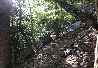
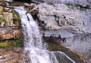
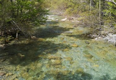
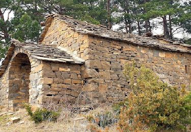
La première partie suit un chemin qui longe le rio Ara, pour arriver rapidement à Broto, un village très différent de Torla, moins ramassé, car la vallée est ici large et plate. Après un petit tour dans ce village, il est impossible de ne pas passer voir la zone de via Ferrata sur les parois rocheuses de la cascade de Sorrosal, à l’ouest. Puis un magnifique chemin muletier mène au village anciennement fortifié (visiblement) d’Oto (à visiter), avant de grimper sur un chemin qui mène à un autre charmant village, Fragen. Très beau sentier pour revenir sur Torla, en haut de la route, le long d’un muret.


22 photos au total. Cliquez sur une photo pour les afficher toutes dans la galerie.
Marche
Marche
Marche
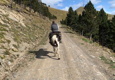
Randonnée équestre
Marche
V.T.T.
A pied
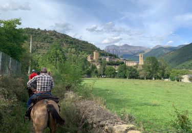
Randonnée équestre