


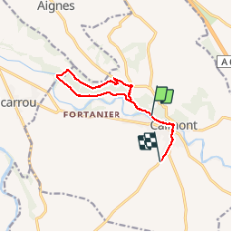

13,4 km | 14,5 km-effort

Utilisateur


Application GPS de randonnée GRATUITE
 SityTrail
IGN / Instituts géographiques
SityTrail World
Le monde est à vous
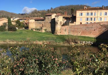
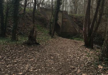
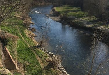
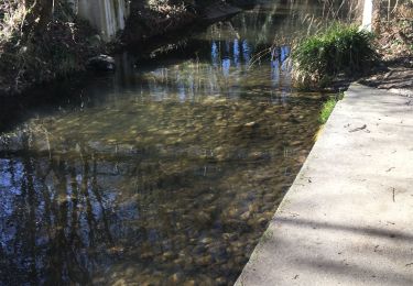
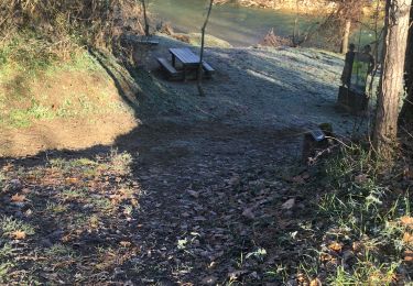
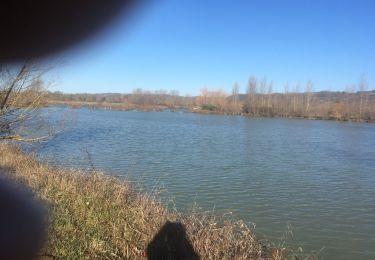
Randonnée Marche de 10,6 km à découvrir à Occitanie, Haute-Garonne, Calmont. Cette randonnée est proposée par richardsimopons.
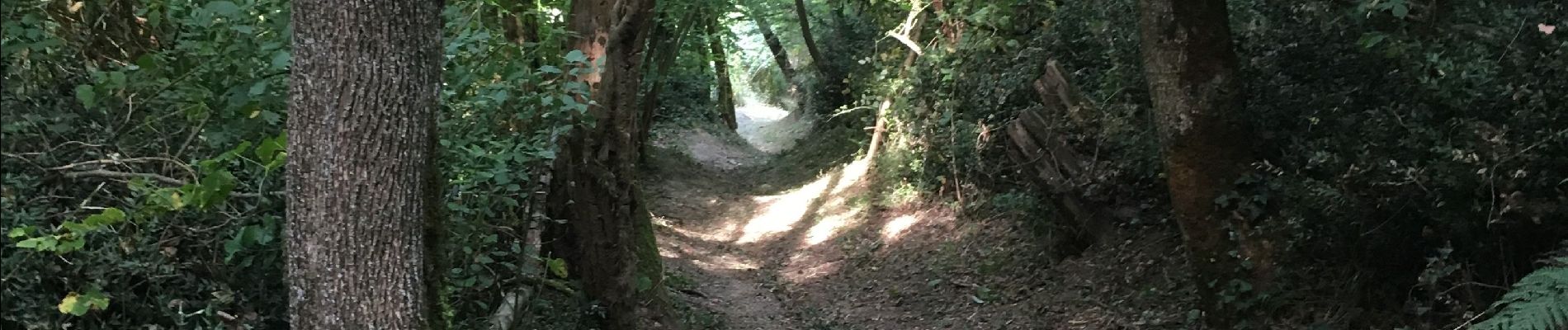
De Home CS jusqu’au ravin Daubuissou retour forêt du château et chemin des 4 vents. A ajouter 2,3 km car le système de trajectoire ne fonctionne pas au début de la marche, ceci est assez fréquent !!


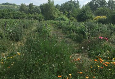
Marche

Marche
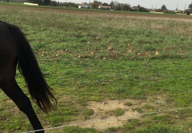
Marche
Marche
Marche