


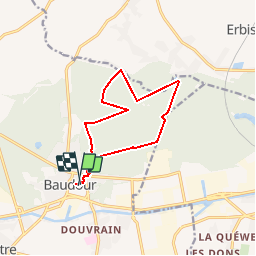

6,4 km | 7,2 km-effort


Utilisateur


Application GPS de randonnée GRATUITE
 SityTrail
IGN / Instituts géographiques
SityTrail World
Le monde est à vous
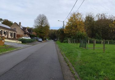
Randonnée Marche de 10,6 km à découvrir à Wallonie, Hainaut, Saint-Ghislain. Cette randonnée est proposée par benoit.plumat.
Marche Solidaire Le Kangourou - 10km - 22 septembre 2019 - organisée par le KITARO41 (Kiwanis, Table Ronde, Rotary, Club 41) de Saint-Ghislain au profit de l'association Le Kangourou de Baudour
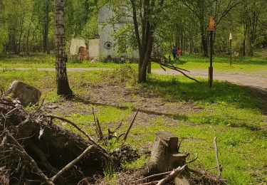
Marche

Marche nordique
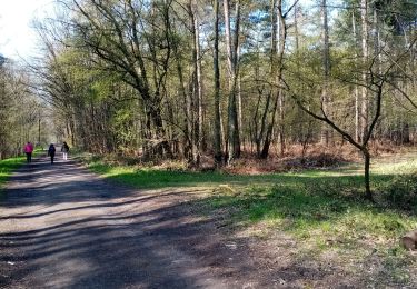
Marche nordique

Marche

V.T.T.
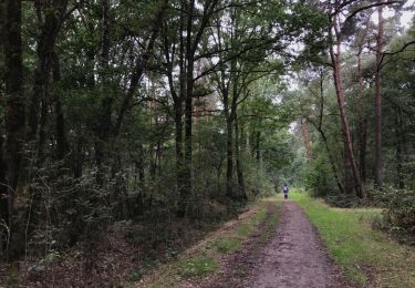
Marche
Marche
Marche
![Randonnée Marche Saint-Ghislain - VILLEROT _ [ Saint - Ghislain ] _Marche Fédérale _ HT _21/05/2022 - Photo](https://media.geolcdn.com/t/375/260/1c5fdf43-c504-40f7-a71e-e460e1cec7c8.jpg&format=jpg&maxdim=2)
Marche