


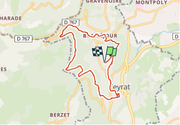

10,8 km | 16,4 km-effort

Utilisateur GUIDE


Application GPS de randonnée GRATUITE
 SityTrail
IGN / Instituts géographiques
SityTrail World
Le monde est à vous
Randonnée Marche de 8,6 km à découvrir à Auvergne-Rhône-Alpes, Puy-de-Dôme, Ceyrat. Cette randonnée est proposée par jagarnier.
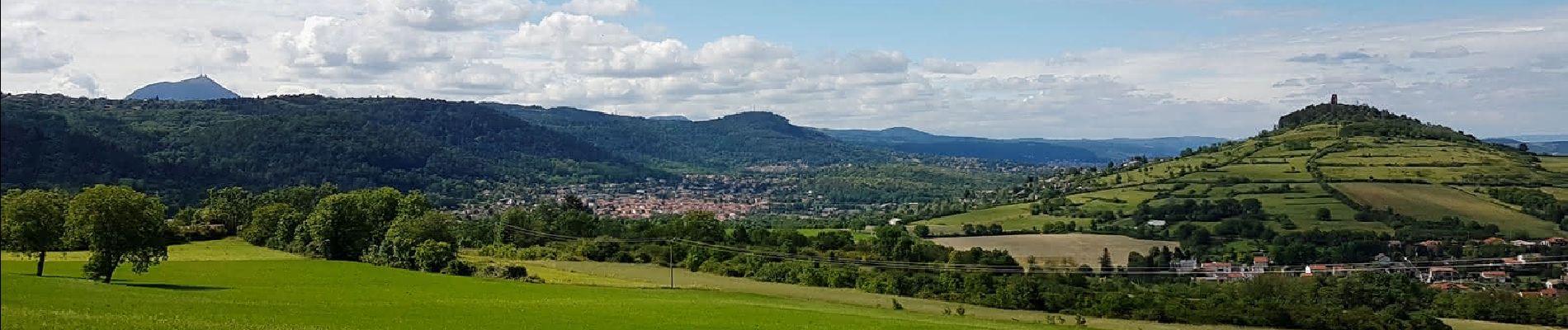
Cette randonnée permet de découvrir les deux villages. D’abord Boisséjour, puis Ceyrat, par une allée forestière à flanc de montagne.


Marche

Marche

Marche

Marche

Marche

Marche

Marche

Marche

A pied