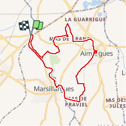

7,3 km | 7,8 km-effort


Utilisateur


Application GPS de randonnée GRATUITE
 SityTrail
IGN / Instituts géographiques
SityTrail World
Le monde est à vous
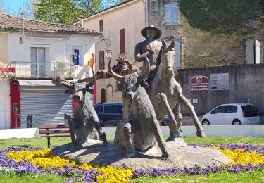
Randonnée Marche de 19,1 km à découvrir à Occitanie, Hérault, Lunel. Cette randonnée est proposée par jeff66.
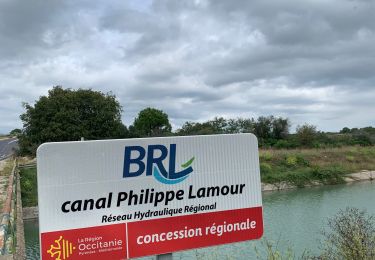
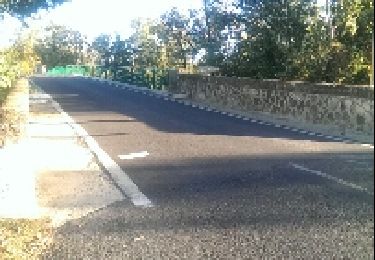
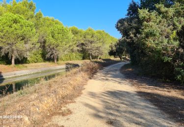
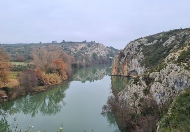
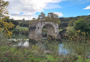
RP34 30 LUNEL - pont de Lunel - berge du vidourle - mas de l’aire, rieutord et ST Rémy - AIMARGUES - centre ville - La jouberte - le creux de blanc - plan de praviel - château de Teillan - MARSILLARGUES - pont Boulet - berges du vidourle - Langlon - le moulin Bernard - pont de LUNEL - le 13.07.19
Marche

V.T.T.
Marche

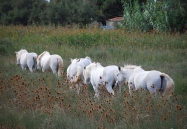
Cheval
Marche
Marche
Marche