


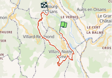

18,4 km | 36 km-effort


Utilisateur


Application GPS de randonnée GRATUITE
 SityTrail
IGN / Instituts géographiques
SityTrail World
Le monde est à vous
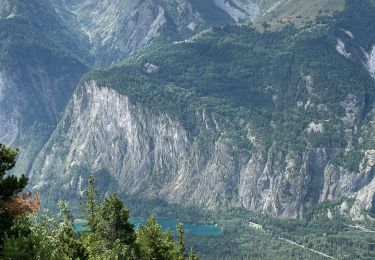
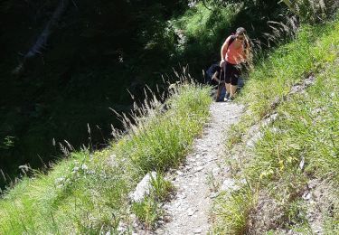
Randonnée Marche de 18,1 km à découvrir à Auvergne-Rhône-Alpes, Isère, Le Bourg-d'Oisans. Cette randonnée est proposée par Emelle.
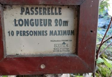
Nécessité de mettre une 2ème voiture à l'arrivée pour éviter la partie sur la route pas intéressante


Marche

Ski de randonnée
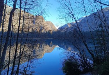
Marche
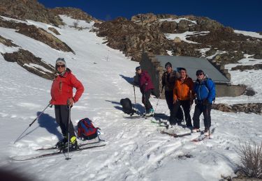
Ski de randonnée
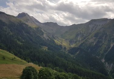
Marche
Marche
Marche
Marche

Marche