


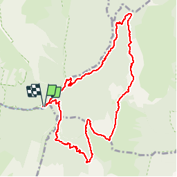

13,1 km | 24 km-effort


Utilisateur


Application GPS de randonnée GRATUITE
 SityTrail
IGN / Instituts géographiques
SityTrail World
Le monde est à vous
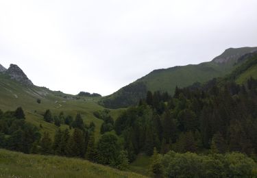
Randonnée Marche de 10,7 km à découvrir à Auvergne-Rhône-Alpes, Savoie, Jarsy. Cette randonnée est proposée par margotte.
belle montée raide avec une flore exceptionnelle et la rencontre des sangliers et des mouflons..Végétation haute, ne pas craindre d'être mouillé jusqu'au cuisse.

Marche
Marche

Marche

Marche

Randonnée équestre

Marche

Marche

Marche
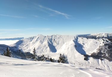
Ski de randonnée