


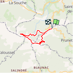

13,6 km | 23 km-effort

Utilisateur


Application GPS de randonnée GRATUITE
 SityTrail
IGN / Instituts géographiques
SityTrail World
Le monde est à vous
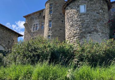
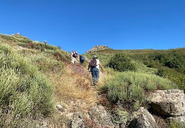
Randonnée Course à pied de 10,4 km à découvrir à Auvergne-Rhône-Alpes, Ardèche, Jaujac. Cette randonnée est proposée par narberd.
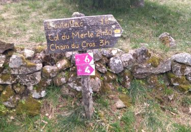
la cham du cros depuis la croix de millet. Départ par la piste de la croix de bauzon jusqu'au col du merle. Retour par une nouvelle piste sur le versant est.


Marche
Marche

Marche
Marche

Marche

Marche

sport

Marche
Marche