


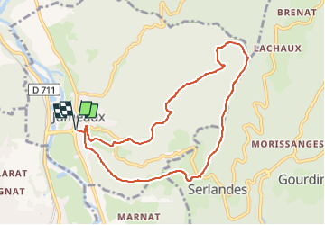

12,3 km | 17 km-effort

Utilisateur GUIDE


Application GPS de randonnée GRATUITE
 SityTrail
IGN / Instituts géographiques
SityTrail World
Le monde est à vous
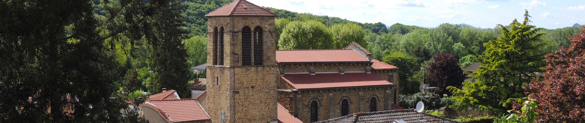
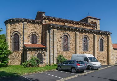
Randonnée Marche de 8,7 km à découvrir à Auvergne-Rhône-Alpes, Puy-de-Dôme, Jumeaux. Cette randonnée est proposée par jagarnier.
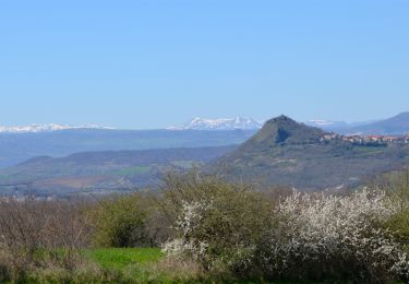
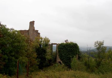
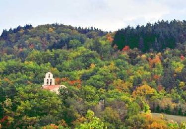
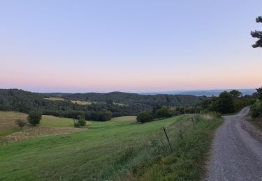
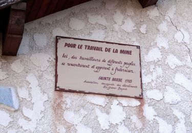
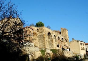
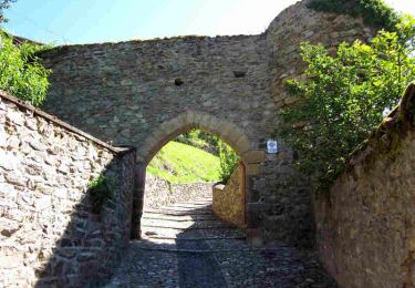
Une randonnée sur les premières hauteurs du Livradois, jusqu'au Suc de la Grive puis, au rocher Montfaucon qui domine le bassin minier et offre un beau point de vue sur Nonette, Ysson, le massif du Sancy et le Cézallier.

Marche
A pied
A pied

Quad
Marche
Marche
Marche
Marche