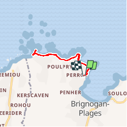

12,3 km | 13,4 km-effort

Utilisateur


Application GPS de randonnée GRATUITE
 SityTrail
IGN / Instituts géographiques
SityTrail World
Le monde est à vous
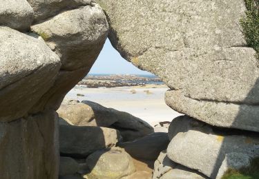
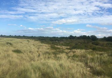
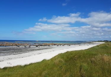
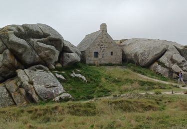
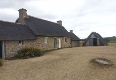
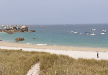
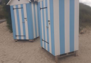
Randonnée Marche de 4,8 km à découvrir à Bretagne, Finistère, Plounéour-Brignogan-Plages. Cette randonnée est proposée par Spinach.
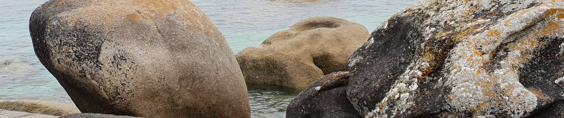
Très belle randonnée avec les gros rochers dans la mer, typique de cette région. Aller et retour à pied. Super et bon pique-nique au phare.


Marche
Marche

Marche
Cyclotourisme
Marche
Marche
Marche