


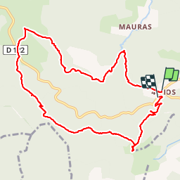


18,2 km | 29 km-effort


Utilisateur


Application GPS de randonnée GRATUITE
 SityTrail
IGN / Instituts géographiques
SityTrail World
Le monde est à vous
Randonnée Marche de 11,3 km à découvrir à Auvergne-Rhône-Alpes, Ardèche, Marcols-les-Eaux. Cette randonnée est proposée par pb07.
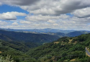
Descente dans les bois bien balisée. Un peu raide à la fin.
Au croisement de la D122, prendre le chemin qui monte en face, plus joli que le GR.
Marche

Marche

Marche
Marche
Marche
Vélo
Marche

Marche
Marche