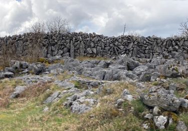
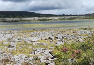
9,4 km | 12 km-effort
190705BurrenNationalPark
pffrench
Utilisateur
Longueur
13,3 km
Altitude max
180 m
Dénivelé positif
207 m
Km-Effort
16 km
Altitude min
28 m
Dénivelé négatif
202 m
Boucle
Non
Date de création :
2019-07-05 09:13:08.626
Dernière modification :
2019-07-05 14:56:46.185
4h48
Difficulté : Très facile
Application GPS de randonnée GRATUITE
À propos
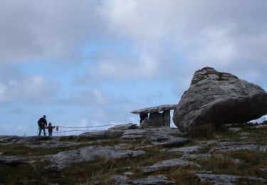
Randonnée Marche de 13,3 km à découvrir à Inconnu, County Clare, West Clare Municipal District. Cette randonnée est proposée par pffrench.
Localisation
Pays :
Irlande
Région :
Inconnu
Département/Province :
County Clare
Commune :
West Clare Municipal District
Localité :
Killinaboy
Départ:(Dec)
Départ:(UTM)
494107 ; 5869082 (29U) N.
Commentaires
Randonnées à proximité
Burren - the blue and white trains
Marche
Moyen
West Clare Municipal District,
Inconnu,
County Clare,
Irlande
2h 43min
Oui
J- 27/06 - LOUGH AVALLA FARM LOOP
Marche
Moyen
West Clare Municipal District,
Inconnu,
County Clare,
Irlande
8,2 km | 10,2 km-effort
2h 18min
Oui
Irlande 2019-08 Mullaghmore, Burren National Park
Marche
Moyen
(1)
West Clare Municipal District,
Inconnu,
County Clare,
Irlande
7,5 km | 9,8 km-effort
2h 5min
Oui
MullaghMore
Marche
Moyen
West Clare Municipal District,
Inconnu,
County Clare,
Irlande
8,7 km | 12,3 km-effort
Inconnu
Non
190705BurrenConnemara
Voiture
Très facile
West Clare Municipal District,
Inconnu,
County Clare,
Irlande
168 km | 187 km-effort
6h 52min
Non