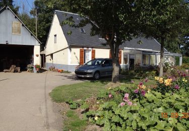
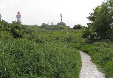
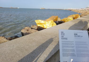
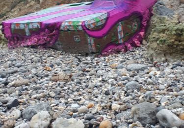
14,2 km | 17 km-effort
2017___le_havre_en_plus
doudet
Utilisateur
Longueur
4,2 km
Altitude max
89 m
Dénivelé positif
90 m
Km-Effort
5,4 km
Altitude min
4 m
Dénivelé négatif
89 m
Boucle
Non
Date de création :
2019-07-02 06:29:53.866
Dernière modification :
2019-07-02 06:29:53.866
--
Difficulté : Inconnu
Application GPS de randonnée GRATUITE
À propos
Randonnée Marche de 4,2 km à découvrir à Normandie, Seine-Maritime, Le Havre. Cette randonnée est proposée par doudet.
Localisation
Pays :
France
Région :
Normandie
Département/Province :
Seine-Maritime
Commune :
Le Havre
Localité :
Unknown
Départ:(Dec)
Départ:(UTM)
290207 ; 5486094 (31U) N.
Commentaires
Randonnées à proximité
Les Bassins des Vallées
A pied
Facile
Fontaine-la-Mallet,
Normandie,
Seine-Maritime,
France
5,1 km | 6 km-effort
1h 21min
Non
Autour du Cap
A pied
Facile
Le Havre,
Normandie,
Seine-Maritime,
France
4,8 km | 5,9 km-effort
1h 20min
Non
076-05-Le Havre A-Midi 9km
Marche
Facile
(1)
Le Havre,
Normandie,
Seine-Maritime,
France
8,8 km | 11,5 km-effort
2h 49min
Oui
Parc de Rouelles - GR - 16-09-2024
A pied
Facile
(1)
Le Havre,
Normandie,
Seine-Maritime,
France
9,4 km | 11,6 km-effort
2h 37min
Oui
le havre parcs
Marche
Difficile
Le Havre,
Normandie,
Seine-Maritime,
France
12,1 km | 14,5 km-effort
3h 25min
Oui
Le havre front de mer
Marche
Moyen
Le Havre,
Normandie,
Seine-Maritime,
France
8,2 km | 9,7 km-effort
3h 14min
Oui
Le Havre plage
Marche nordique
Très facile
Sainte-Adresse,
Normandie,
Seine-Maritime,
France
7,2 km | 7,8 km-effort
2h 0min
Non
rouelles jarfleur
Marche
Facile
Le Havre,
Normandie,
Seine-Maritime,
France
11,8 km | 13,5 km-effort
2h 21min
Oui