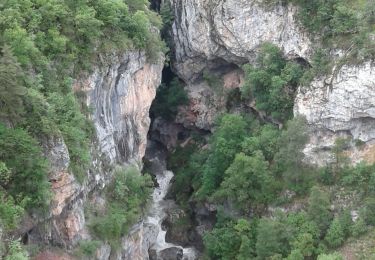
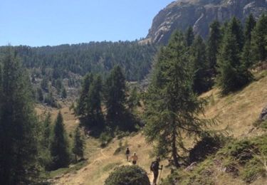
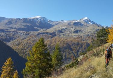
14,7 km | 26 km-effort
col de tramouillon
mayaud
Utilisateur
Longueur
11,9 km
Boucle
Oui
Date de création :
2019-06-20 06:20:46.982
Dernière modification :
2019-06-20 13:23:19.939
5h56
Difficulté : Moyen
Application GPS de randonnée GRATUITE
À propos
Randonnée Marche de 11,9 km à découvrir à Provence-Alpes-Côte d'Azur, Hautes-Alpes, Champcella. Cette randonnée est proposée par mayaud.
Description
depart les seyes.Caf annie le 20 juin 2019
Localisation
Pays :
France
Région :
Provence-Alpes-Côte d'Azur
Département/Province :
Hautes-Alpes
Commune :
Champcella
Localité :
Unknown
Départ:(Dec)
Départ:(UTM)
306390 ; 4955978 (32T) N.
Commentaires
Randonnées à proximité
Crête en bordure vallée Freissinieres (Rortie)
Marche
Moyen
(2)
Freissinières,
Provence-Alpes-Côte d'Azur,
Hautes-Alpes,
France
4h 52min
Oui
Gouffre de Gourfouran
Marche
Facile
(2)
Champcella,
Provence-Alpes-Côte d'Azur,
Hautes-Alpes,
France
5,1 km | 8,1 km-effort
2h 2min
Oui
FRESSINIERES - SEYES 16.3KM
Marche
Moyen
(1)
Champcella,
Provence-Alpes-Côte d'Azur,
Hautes-Alpes,
France
16,3 km | 28 km-effort
5h 44min
Oui
traversée fressiniere reotier
V.T.T.
Difficile
Freissinières,
Provence-Alpes-Côte d'Azur,
Hautes-Alpes,
France
36 km | 52 km-effort
3h 32min
Oui
Bienvenue à la citadelle de Roche Charnière au Ponteil
Ski de randonnée
Difficile
Champcella,
Provence-Alpes-Côte d'Azur,
Hautes-Alpes,
France
10,1 km | 22 km-effort
2h 46min
Oui
les Violins Dormillouse
Marche
Facile
Freissinières,
Provence-Alpes-Côte d'Azur,
Hautes-Alpes,
France
14,8 km | 28 km-effort
9h 14min
Oui
tour de fressiniere
Marche
Moyen
Freissinières,
Provence-Alpes-Côte d'Azur,
Hautes-Alpes,
France
25 km | 43 km-effort
6h 16min
Oui
St Crépin Thurifère vers hameau de Guion Chantal
Marche
Difficile
Saint-Crépin,
Provence-Alpes-Côte d'Azur,
Hautes-Alpes,
France
5 km | 9,9 km-effort
2h 30min
Oui
la grande barre par cabane des aiguilles
Marche
Très difficile
La Roche-de-Rame,
Provence-Alpes-Côte d'Azur,
Hautes-Alpes,
France
13,7 km | 27 km-effort
3h 34min
Oui