


8,7 km | 12,9 km-effort

Utilisateur


Application GPS de randonnée GRATUITE
 SityTrail
IGN / Instituts géographiques
SityTrail World
Le monde est à vous
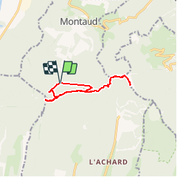
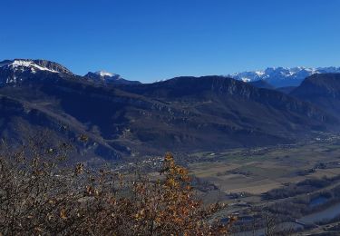
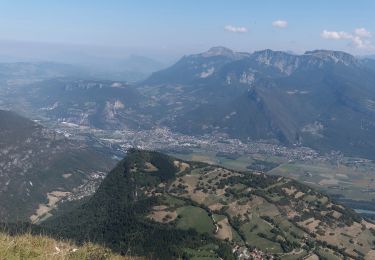
Randonnée Marche de 11,5 km à découvrir à Auvergne-Rhône-Alpes, Isère, Montaud. Cette randonnée est proposée par ajd26.
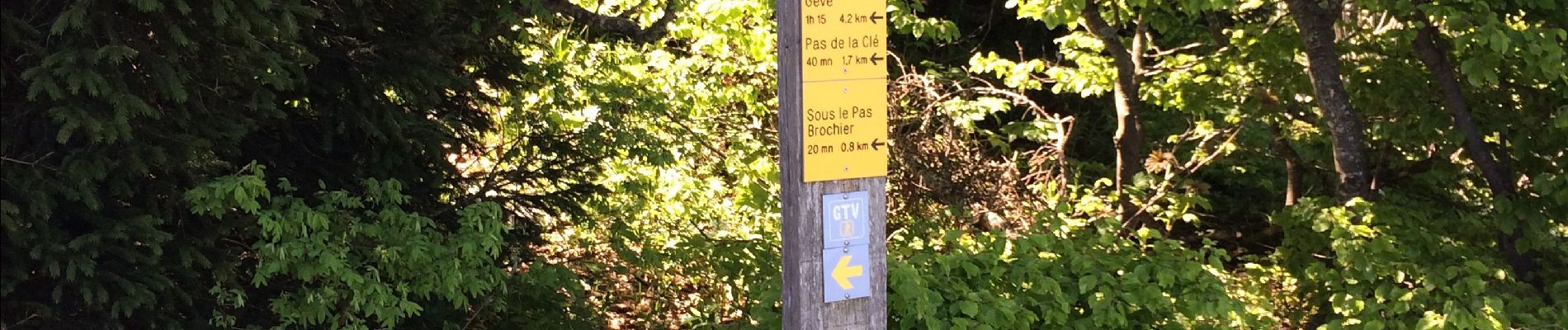
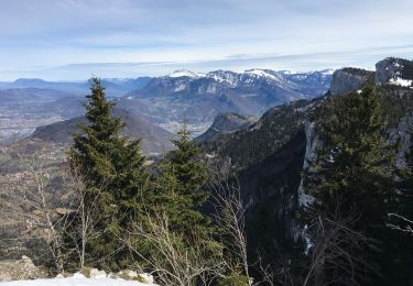
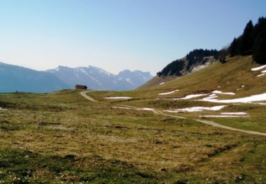
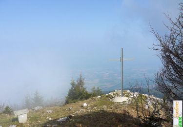
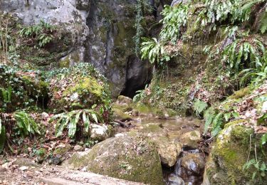
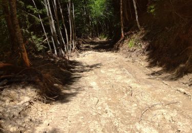
Depuis Montaud sur la route du tunnel, pas Brochier très difficile il faut grimper avec les mains, Bec de l’Orient, la grande Brèche, la Buffe et retour par le pas de la Clé très joli rando à faire par temps sec impérativement 12 km


Raquettes à neige
Marche
Marche
Marche
Marche
Marche
Marche
Marche
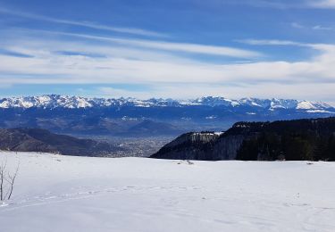
Raquettes à neige