


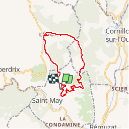

11,2 km | 19,6 km-effort


Utilisateur


Application GPS de randonnée GRATUITE
 SityTrail
IGN / Instituts géographiques
SityTrail World
Le monde est à vous
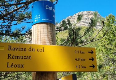
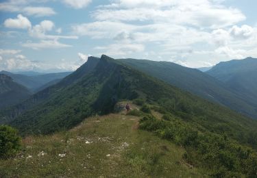
Randonnée Marche de 13,8 km à découvrir à Auvergne-Rhône-Alpes, Drôme, Saint-May. Cette randonnée est proposée par Vero7684.
moins longue en temps 4h 4h30 car avons observé les vautours à la jumelle un bon moment au site d'observation près de lioux.

Marche
Marche

Marche
Marche

Marche

Marche
Marche nordique
Marche
Marche