


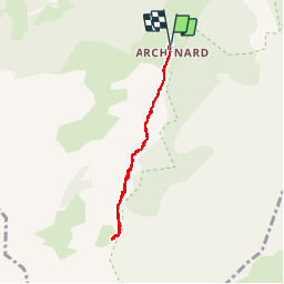


6,3 km | 9,9 km-effort

Utilisateur


Application GPS de randonnée GRATUITE
 SityTrail
IGN / Instituts géographiques
SityTrail World
Le monde est à vous
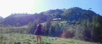
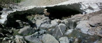
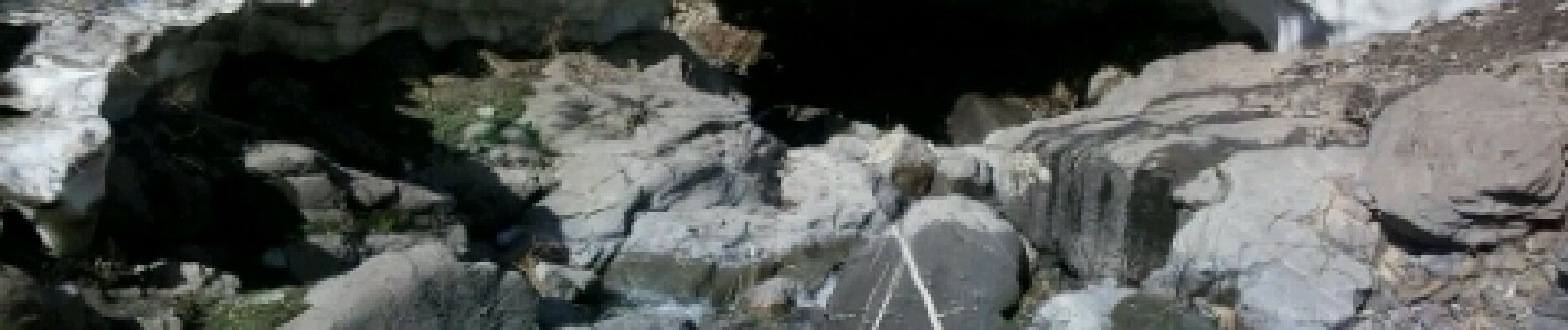
Randonnée Marche de 6,1 km à découvrir à Provence-Alpes-Côte d'Azur, Hautes-Alpes, Orcières. Cette randonnée est proposée par Kilroy06.
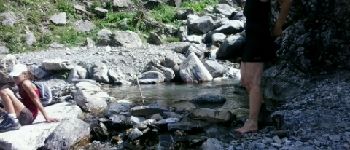
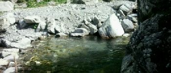
Un sentier au fond d'une très belle vallée. Balade tranquille. Petite montée le long d'un jolie torrent. Au mois d'aout cette année encore des névés le long du torrent.


Marche

Marche

Marche

Marche

Marche

Marche

Ski de randonnée

Marche

Marche