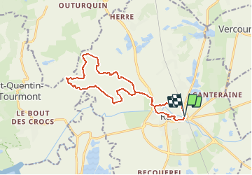

12,4 km | 12,8 km-effort


Utilisateur


Application GPS de randonnée GRATUITE
 SityTrail
IGN / Instituts géographiques
SityTrail World
Le monde est à vous
Randonnée Marche nordique de 13,5 km à découvrir à Hauts-de-France, Somme, Rue. Cette randonnée est proposée par denissculier.
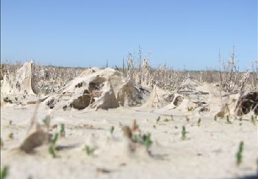
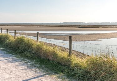
Un parcours culturel avec le riche passé de Rue et naturel avec le charme des terres plus basses que la mer.De cet ancien port au riche passé historique, partir vers les basses terres, sous le niveau de la mer, sillonnées de rus et de canaux.

Marche

Vélo

Cheval
A pied
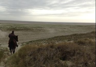
Cheval
Marche