


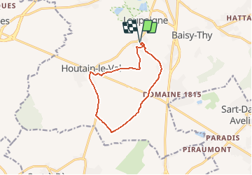

9,7 km | 12,5 km-effort


Utilisateur


Application GPS de randonnée GRATUITE
 SityTrail
IGN / Instituts géographiques
SityTrail World
Le monde est à vous
Randonnée Marche nordique de 9,8 km à découvrir à Wallonie, Brabant wallon, Genappe. Cette randonnée est proposée par denissculier.
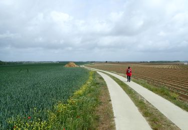
Située entre Fort-Mahon-Plage et Quend-Plage, le site de la dune du Royon est un milieu naturel sensible et protégé. Pour le découvrir, empruntez le sentier balisé.

Marche

Marche

Marche

Marche

Marche

Marche
A pied
Marche
Marche