


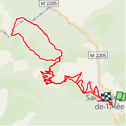


19,5 km | 40 km-effort

Utilisateur

Application GPS de randonnée GRATUITE
 SityTrail
IGN / Instituts géographiques
SityTrail World
Le monde est à vous
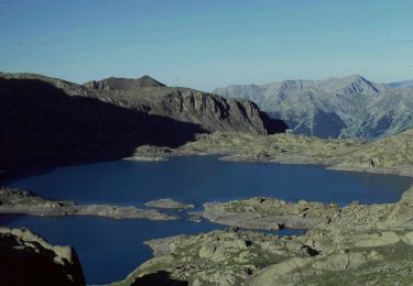
Randonnée Marche de 15,5 km à découvrir à Provence-Alpes-Côte d'Azur, Alpes-Maritimes, Saint-Étienne-de-Tinée. Cette randonnée est proposée par michel1951.
sortie ARSE


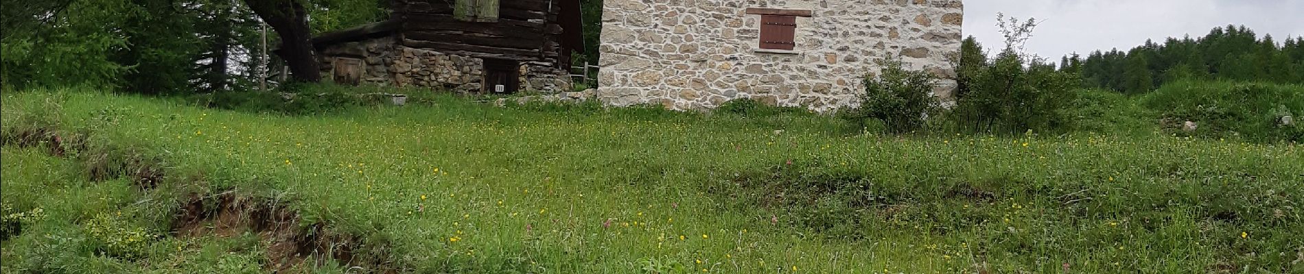
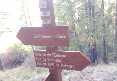
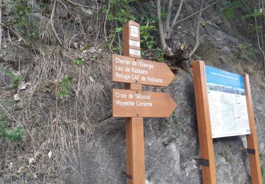
23 photos au total. Cliquez sur une photo pour les afficher toutes dans la galerie.
Marche

Marche

Marche
Marche

A pied

A pied

A pied

A pied
A pied