


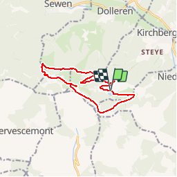

8,1 km | 12,3 km-effort


Utilisateur


Application GPS de randonnée GRATUITE
 SityTrail
IGN / Instituts géographiques
SityTrail World
Le monde est à vous
Randonnée Marche de 11,7 km à découvrir à Grand Est, Haut-Rhin, Kirchberg. Cette randonnée est proposée par patrickbeyrath.
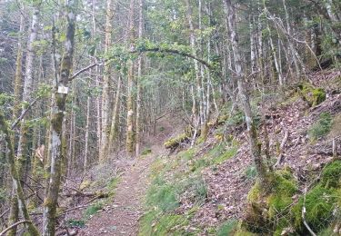
Parking Lachtelweiher - Abri Sommerseite - direction Abri Graber puis GR531 Fennemeatt - Source de la Doller - Lochberg et retour par rectangle rouge blanc rouge en dessous du Baerenkopf

Marche

Marche

Marche

Marche

Marche

Marche

Marche

Marche
Marche