


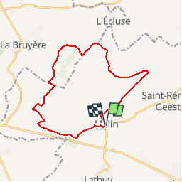


12,9 km | 15,2 km-effort


Utilisateur


Application GPS de randonnée GRATUITE
 SityTrail
IGN / Instituts géographiques
SityTrail World
Le monde est à vous
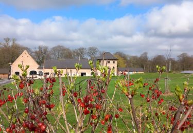
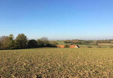
Randonnée Marche de 13,4 km à découvrir à Wallonie, Brabant wallon, Jodoigne. Cette randonnée est proposée par joelledreessen.
Passe en partie par la promenade des Cences :
http://www.hesbayebrabanconne.be/sites/default/files/censes.pdf
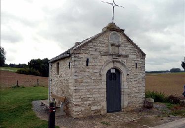
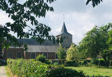
Le village de MELIN est répertorié comme l’un des plus beaux villages de WALLONIE. Son patrimoine bâti est bien préservé et met généreusement en valeur la pierre de Gobertange.
La pierre de GOBERTANGE était extraite localement. Très prisée pour ses teintes chaleureuses, facile à débiter et propice à la taille, elle est utilisée dès l’époque gallo-romaine. Au Moyen Âge, son exploitation s’intensifie. GOBERTANGE, MELIN, LATHUY et SAINT-REMY-GEEST en constituent les principaux lieux d’extraction. Puis les 18èet 19è siècles représentent une période faste pour la pierre de GOBERTANGE, qu’on retrouve dans de nombreuses demeures bourgeoises, des églises et bâtiments publics édifiés à cette époque. C’est à la fin du 19è siècle, à partir de 1870, que l’activité extractive décline, subissant la forte concurrence des pierres blanches françaises. Aujourd’hui, seule une carrière subsiste à HUSSOMPONT.
La pierre extraite de cette excavation à ciel ouvert est principalement destinée à la restauration de bâtiments anciens. Il n’en reste pas moins un riche patrimoine, qui caractérise une territoire volontiers nommé « PAYS BLANC »...
Marche
Marche
Marche
Marche
Marche
Marche
A pied
Marche
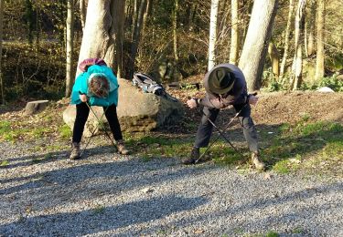
Marche nordique