


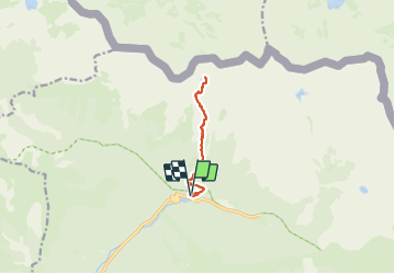

13,3 km | 20 km-effort

Utilisateur


Application GPS de randonnée GRATUITE
 SityTrail
IGN / Instituts géographiques
SityTrail World
Le monde est à vous
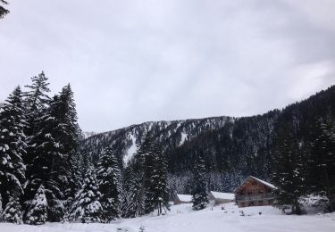
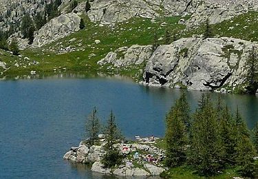
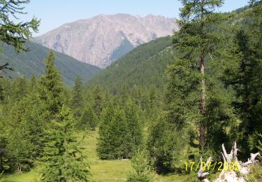
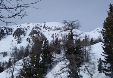
Randonnée Marche de 9,5 km à découvrir à Provence-Alpes-Côte d'Azur, Alpes-Maritimes, Saint-Martin-Vésubie. Cette randonnée est proposée par GrouGary.
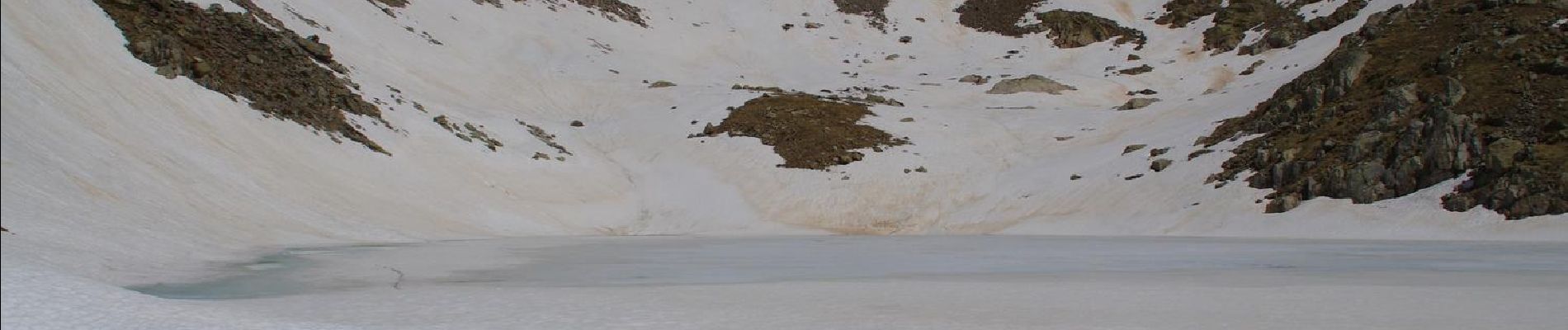
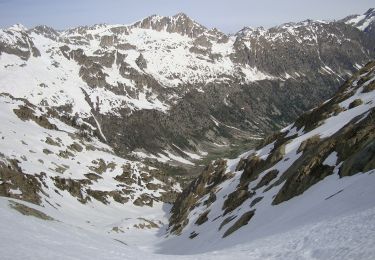
Presque A/R soutenu (bon dénivelé sur courte distance) mais sans difficulté technique. Des névés dans les derniers 300m.


Marche
Marche

Marche
A pied
A pied
A pied
A pied
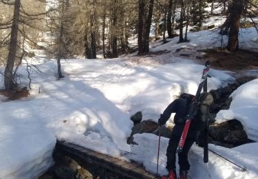
Ski de randonnée
Ski de randonnée