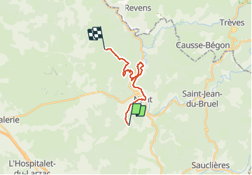

13,5 km | 15,6 km-effort

Utilisateur

Application GPS de randonnée GRATUITE
 SityTrail
IGN / Instituts géographiques
SityTrail World
Le monde est à vous
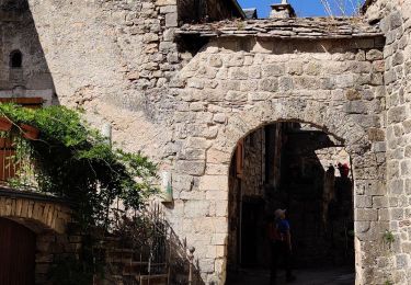
Randonnée Marche de 16,1 km à découvrir à Occitanie, Aveyron, Nant. Cette randonnée est proposée par janussity.
Soleil et vent
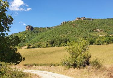
montée sur le Causses Cuns 850m.
Pique-nique vers cabane bois homme solitaire.
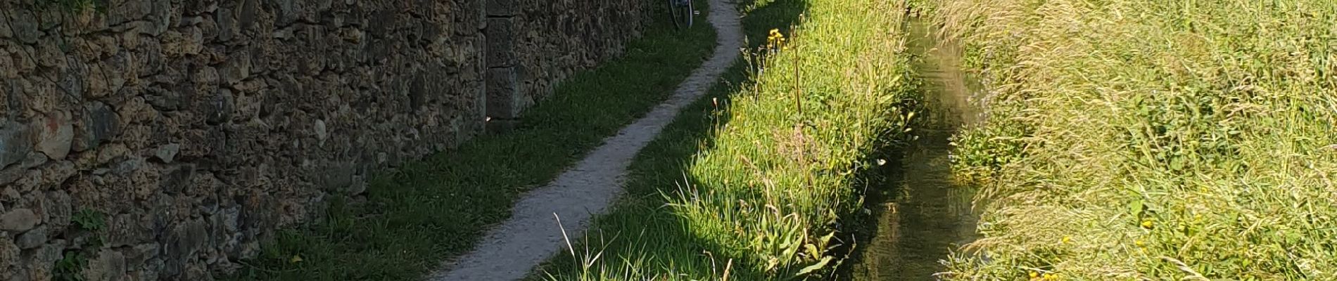
Achat prod aromatique ferme des Homs. Pluie sur 3km vers gite de Montredon.


Marche
Marche
Marche
Marche nordique