

Osenbach - Sentier des Sols

gscheven
Utilisateur

Longueur
4,7 km

Altitude max
442 m

Dénivelé positif
141 m

Km-Effort
6,6 km

Altitude min
323 m

Dénivelé négatif
144 m
Boucle
Oui
Date de création :
2019-05-28 11:07:58.472
Dernière modification :
2020-10-26 18:13:30.329
3h00
Difficulté : Facile

Application GPS de randonnée GRATUITE
À propos
Randonnée Marche de 4,7 km à découvrir à Grand Est, Haut-Rhin, Osenbach. Cette randonnée est proposée par gscheven.
Description
Très Belle vues, surtout en automne.
Panneaux explicatifs concernant les sols tout au long de la promenade : composition, évolution etc.... (explications assez techniques, pour adultes).
Durée comprenant le temps de lecture des explications.
Localisation
Pays :
France
Région :
Grand Est
Département/Province :
Haut-Rhin
Commune :
Osenbach
Localité :
Unknown
Départ:(Dec)
Départ:(UTM)
366931 ; 5316190 (32T) N.
Commentaires
Randonnées à proximité
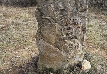
2021 03 04 Westhalten


Marche
Facile
(1)
Westhalten,
Grand Est,
Haut-Rhin,
France

7,7 km | 11,3 km-effort
2h 21min
Oui
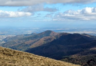
2023-10-22 Marche Wintzfelden Petit Ballon


Marche
Moyen
Rouffach,
Grand Est,
Haut-Rhin,
France

19 km | 33 km-effort
7h 34min
Oui

ND du Hubel_Schauenberg


Marche
Moyen
(2)
Westhalten,
Grand Est,
Haut-Rhin,
France

8,3 km | 11,7 km-effort
2h 39min
Oui

Autour de Wasserbourg


Marche
Facile
(1)
Wasserbourg,
Grand Est,
Haut-Rhin,
France

8,8 km | 14 km-effort
2h 6min
Oui

Westhalten - Le tour de la vallée Noble


V.T.T.
Difficile
(1)
Westhalten,
Grand Est,
Haut-Rhin,
France

24 km | 33 km-effort
2h 30min
Oui

Marche TL 10/2024 - Parking Chataignier- ND du Schauenburg-Rocher du Coucou-C...


Marche
Difficile
(1)
Pfaffenheim,
Grand Est,
Haut-Rhin,
France

8,5 km | 12,5 km-effort
2h 50min
Oui

Gueberschwihr - Voegtlinshoffen - N.-D. de Schauenberg - Pfaffenheim


Marche
Difficile
Gueberschwihr,
Grand Est,
Haut-Rhin,
France

13,1 km | 18,9 km-effort
4h 17min
Oui
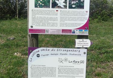
WESTHALTEN ZINKOEPHLE


Marche
Moyen
Westhalten,
Grand Est,
Haut-Rhin,
France

10,6 km | 15,3 km-effort
2h 56min
Oui
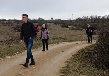
Westhalten - Rouffach


Marche
Difficile
Westhalten,
Grand Est,
Haut-Rhin,
France

8,9 km | 13 km-effort
3h 22min
Oui


 SityTrail


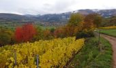
belles vues - explications intéressantes , mais fort techniques.