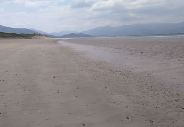
28 km | 30 km-effort
Kerry
jojomarette
Utilisateur
Longueur
227 km
Altitude max
352 m
Dénivelé positif
2614 m
Km-Effort
262 km
Altitude min
-1 m
Dénivelé négatif
2615 m
Boucle
Oui
Date de création :
2019-05-25 07:17:58.563
Dernière modification :
2019-05-25 17:48:31.772
9h01
Difficulté : Très facile
Application GPS de randonnée GRATUITE
À propos
Randonnée Voiture de 227 km à découvrir à Inconnu, County Kerry, Listowel Municipal District. Cette randonnée est proposée par jojomarette.
Description
Mmm
Localisation
Pays :
Irlande
Région :
Inconnu
Département/Province :
County Kerry
Commune :
Listowel Municipal District
Localité :
Ballyheige
Départ:(Dec)
Départ:(UTM)
443250 ; 5804553 (29U) N.
Commentaires
Randonnées à proximité
VTT the Maharees
V.T.T.
Facile
Kenmare Municipal District,
Inconnu,
County Kerry,
Irlande
3h 4min
Oui
retour
Voiture
Très facile
Tralee Municipal District,
Inconnu,
County Kerry,
Irlande
306 km | 349 km-effort
3h 41min
Non
Derrymore Curcuit
Marche
Moyen
Tralee Municipal District,
Inconnu,
County Kerry,
Irlande
8,8 km | 18,5 km-effort
Inconnu
Non
de talent à kilarney
Vélo électrique
Facile
Tralee Municipal District,
Inconnu,
County Kerry,
Irlande
141 km | 155 km-effort
6h 42min
Non
j03-4
Voiture
Très facile
Tralee Municipal District,
Inconnu,
County Kerry,
Irlande
43 km | 47 km-effort
39min
Non
Loop Head - Doonbeg WAW Part 6.3
Voiture
Très facile
West Clare Municipal District,
Inconnu,
County Clare,
Irlande
39 km | 44 km-effort
Inconnu
Non
Banna Strand - Tarbert WAW Part 6.1
Voiture
Très facile
Tralee Municipal District,
Inconnu,
County Kerry,
Irlande
75 km | 82 km-effort
Inconnu
Non
Naar Inch Beach
Marche
Kenmare Municipal District,
Inconnu,
County Kerry,
Irlande
52 km | 60 km-effort
1h 28min
Non
Michiel
Voiture
Kenmare Municipal District,
Inconnu,
County Kerry,
Irlande
16,7 km | 20 km-effort
1h 7min
Non