


12,2 km | 18,4 km-effort


Utilisateur


Application GPS de randonnée GRATUITE
 SityTrail
IGN / Instituts géographiques
SityTrail World
Le monde est à vous
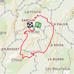
Randonnée Marche de 14,8 km à découvrir à Bourgogne-Franche-Comté, Jura, Vulvoz. Cette randonnée est proposée par mamirtine.
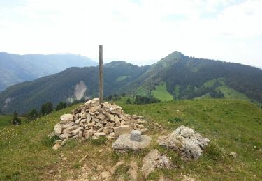
Bonne mont;montée au départ puis parcours agréable
En partant à 8.45 h : pique nique possible au belvedere du Cuchet
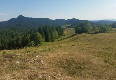
Marche
Marche
Marche
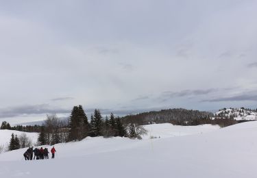
Raquettes à neige
Marche

Marche
Marche
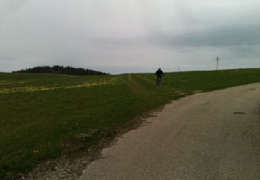
V.T.T.
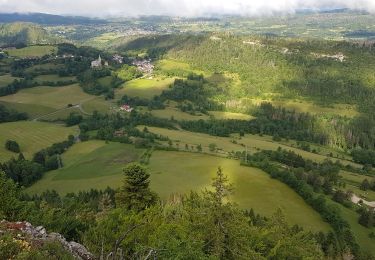
Marche