


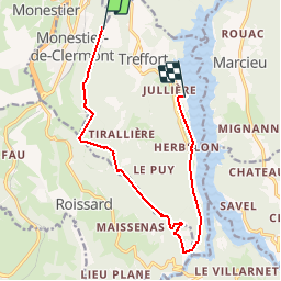


12,2 km | 18,4 km-effort

Utilisateur


Application GPS de randonnée GRATUITE
 SityTrail
IGN / Instituts géographiques
SityTrail World
Le monde est à vous
Randonnée Marche nordique de 12,5 km à découvrir à Auvergne-Rhône-Alpes, Isère, Treffort. Cette randonnée est proposée par Annor.
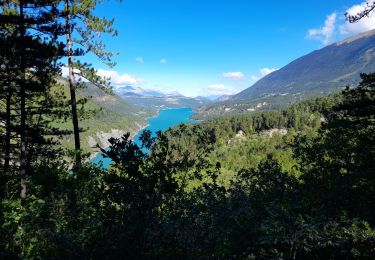
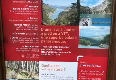
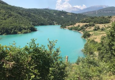
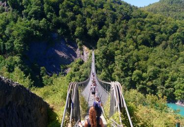
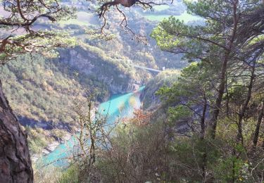
Départ centre ville de Sinard. Passage par la Morte puis collet de Sinard. Monté.r jusqu'à la ligne de crête et la suivre jusqu'a la table d'orientation. Descente jusqu'à la première Passerelle pour finir vers le lac de treffort (office du tourisme).


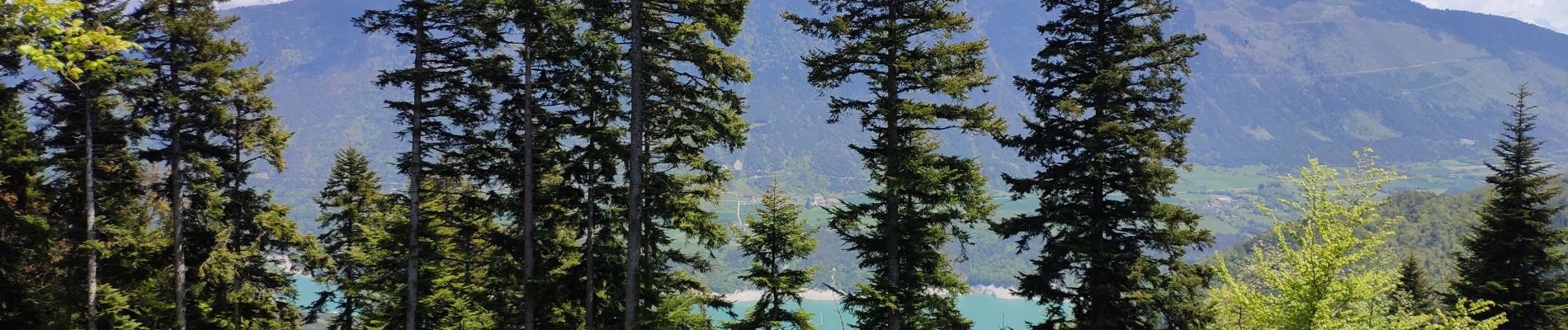
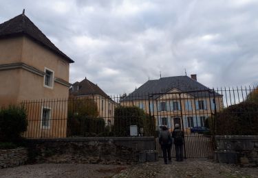
30 photos au total. Cliquez sur une photo pour les afficher toutes dans la galerie.

Marche
Marche
Marche

Marche

Marche
Marche
Marche
Marche
Marche