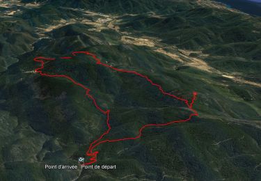
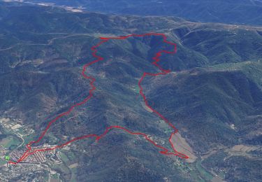
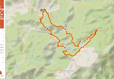
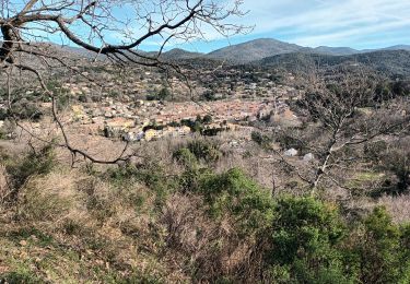
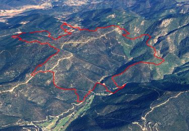
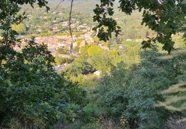
Randonnée  Collobrières - SityTrail - collobrières les mayons aller retour  - Photo

SityTrail - collobrières les mayons aller retour

 derrives
derrives

Utilisateur

© OpenStreetMap contributors
Longueur
Longueur
46 km
Altitude max
Altitude max
645 m
Dénivelé positif
Dénivelé positif
1196 m
Km-Effort
Km-Effort  
62 km
Altitude min
Altitude min
132 m
Dénivelé négatif
Dénivelé négatif
1196 m
Boucle
Boucle
Oui
Date de création :
2019-05-19 13:56:11.034
Dernière modification :
2019-05-19 13:56:20.795

(0 Avis)


Scannez ce code QR pour ouvrir la randonnée dans l'application SityTrail

Application GPS de randonnée GRATUITE

Logo SityTrail SityTrail

IGN / Instituts géographiques

Télécharger SityTrail sur l'App Store Télécharger SityTrail sur Google Play

Logo SityTrail SityTrail World

Le monde est à vous

Télécharger SityTrail sur l'App Store Télécharger SityTrail sur Google Play Télécharger SityTrail sur Huawei AppGallery

À propos

Randonnée de 46 km à découvrir à Provence-Alpes-Côte d'Azur, Var, Collobrières. Cette randonnée est proposée par derrives.

Description

randonnée un peu longue mais pas difficile ,soyez attentif dans la descente de Taillelude ,bonne randonnée

Profil altimétrique

Localisation

Pays :
France
Région :
Provence-Alpes-Côte d'Azur
Département/Province :
Var
Commune :
Collobrières
Localité :
Unknown
Départ:(UTM)
281952 ; 4790626 (32T) N.

Randonnées à proximité

Randonnée Marche Collobrières - Collobrières - Radar Météo - Chartreuse de La La Verne   - Photo
Marche
GUIDE
affinetataille

Marche

Moyen
(1)
Collobrières, Provence-Alpes-Côte d'Azur, Var, France
14,4 km | 21 km-effort
6h 0min
Oui
Randonnée Marche Collobrières - Collobriéres - Plateau Lambert - Photo
Marche
GUIDE
affinetataille

Marche

Moyen
(1)
Collobrières, Provence-Alpes-Côte d'Azur, Var, France
12,8 km | 20 km-effort
6h 0min
Oui
Randonnée Marche Gonfaron - notre dame des anges - Photo
Marche
Lemillepat

Marche

Difficile
(1)
Gonfaron, Provence-Alpes-Côte d'Azur, Var, France
10,2 km | 16,9 km-effort
3h 51min
Oui
Randonnée V.T.T. Collobrières - Collobrières par pistes - Photo
V.T.T.
GrouGary

V.T.T.

Moyen
(1)
Collobrières, Provence-Alpes-Côte d'Azur, Var, France
28 km | 35 km-effort
2h 20min
Oui
Randonnée Marche Collobrières - Plateau Lambert 2 - Photo
Marche
frizou83

Marche

Facile
(1)
Collobrières, Provence-Alpes-Côte d'Azur, Var, France
14,2 km | 21 km-effort
4h 40min
Oui
Randonnée Marche Collobrières - plateau Lambert en partant de Collobrieres - Photo
Marche
FSantoni

Marche

Très difficile
Collobrières, Provence-Alpes-Côte d'Azur, Var, France
15,2 km | 22 km-effort
6h 58min
Oui
Randonnée Marche Collobrières - Les Maures-Collobrières-15-03-23 - Photo
Marche
Christiancordin

Marche

Moyen
Collobrières, Provence-Alpes-Côte d'Azur, Var, France
18,1 km | 26 km-effort
4h 47min
Oui
Randonnée Marche Collobrières - Col du Babaou - Menhir de l'Avelan - Hameau st guillaume - Piste de la Rieille - Maravenne - Barrages - Jau de Peu - La pointe - Photo
Marche
GUIDE
affinetataille

Marche

Difficile
Collobrières, Provence-Alpes-Côte d'Azur, Var, France
14,1 km | 22 km-effort
6h 0min
Oui
Randonnée Marche Collobrières - collobrieres, Lambert, laquina - Photo
Marche
cdanielrando

Marche

Moyen
Collobrières, Provence-Alpes-Côte d'Azur, Var, France
16,9 km | 26 km-effort
6h 31min
Oui


Fermer
Mes abonnements