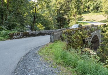
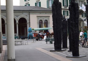
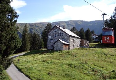
Randonnée V.T.T. Sargans - Sargans-Halde - Photo
 uwuest
uwuest

Utilisateur

© OpenStreetMap contributors
Longueur
Longueur
27 km
Altitude max
Altitude max
1162 m
Dénivelé positif
Dénivelé positif
788 m
Km-Effort
Km-Effort  
38 km
Altitude min
Altitude min
479 m
Dénivelé négatif
Dénivelé négatif
787 m
Boucle
Boucle
Oui
Date de création :
2018-07-22 08:44:20.817
Dernière modification :
2018-07-22 08:44:20.817

(0 Avis)

V.T.T.
V.T.T.
2h29
Difficulté : Très facile

Scannez ce code QR pour ouvrir la randonnée dans l'application SityTrail

Application GPS de randonnée GRATUITE

Logo SityTrail SityTrail

IGN / Instituts géographiques

Télécharger SityTrail sur l'App Store Télécharger SityTrail sur Google Play

Logo SityTrail SityTrail World

Le monde est à vous

Télécharger SityTrail sur l'App Store Télécharger SityTrail sur Google Play Télécharger SityTrail sur Huawei AppGallery

À propos

Randonnée V.T.T. de 27 km à découvrir à Saint-Gall, Wahlkreis Sarganserland, Sargans. Cette randonnée est proposée par uwuest.

Profil altimétrique

Localisation

Pays :
Suisse
Région :
Saint-Gall
Département/Province :
Wahlkreis Sarganserland
Commune :
Sargans
Localité :
Unknown
Départ:(Dec)
Départ:(UTM)
533795 ; 5210310 (32T) N.

Randonnées à proximité

Randonnée A pied Mels - Vermol - Rütiwald - Photo
A pied
GUIDE+

A pied

Facile
Mels, Saint-Gall, Wahlkreis Sarganserland, Suisse
5,6 km | 8,6 km-effort
1h 57min
Non
Randonnée A pied Vilters-Wangs - Garschlu - Bad Ragaz - Photo
A pied
GUIDE+

A pied

Facile
Vilters-Wangs, Saint-Gall, Wahlkreis Sarganserland, Suisse
8,7 km | 12,1 km-effort
2h 45min
Non
Randonnée A pied Mels - Rütiwald - Garschlu - Photo
A pied
GUIDE+

A pied

Facile
Mels, Saint-Gall, Wahlkreis Sarganserland, Suisse
4,8 km | 8,5 km-effort
1h 55min
Non
Randonnée Autre activité Bad Ragaz - st_ral_10_03 - Photo
Autre activité
GUIDE+

Autre activité

Très facile
Bad Ragaz, Saint-Gall, Wahlkreis Sarganserland, Suisse
46 km | 66 km-effort
17h 1min
Non
Randonnée Autre activité Fläsch - bdr10_Truebbach_Bodensee - Photo
Autre activité
GUIDE+

Autre activité

Très facile
Fläsch, Grisons, Landquart, Suisse
61 km | 67 km-effort
Inconnu
Non
Randonnée Autre activité Fläsch - xxx09_Martina_Truebbach - Photo
Autre activité
GUIDE+

Autre activité

Très facile
Fläsch, Grisons, Landquart, Suisse
138 km | 336 km-effort
82h 36min
Non
Randonnée Marche Sargans - sf10_e2b - Photo
Marche
GUIDE+

Marche

Très facile
Sargans, Saint-Gall, Wahlkreis Sarganserland, Suisse
28 km | 48 km-effort
10h 55min
Non
Randonnée V.T.T. Sargans - Bike32874 - Photo
V.T.T.
GUIDE+

V.T.T.

Très facile
Sargans, Saint-Gall, Wahlkreis Sarganserland, Suisse
88 km | 117 km-effort
Inconnu
Non
Randonnée A pied Balzers - Balzers - Regitzer Spitz (CH) - Flaesch (CH) - Photo
A pied
GUIDE+

A pied

Facile
Balzers, Inconnu, Oberland, Liechtenstein
6,8 km | 13,7 km-effort
3h 6min
Non


Fermer
Mes abonnements