


18,4 km | 26 km-effort

Utilisateur


Application GPS de randonnée GRATUITE
 SityTrail
IGN / Instituts géographiques
SityTrail World
Le monde est à vous
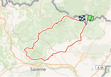
Randonnée Vélo de 131 km à découvrir à Grand Est, Bas-Rhin, Lembach. Cette randonnée est proposée par CycloDan67.
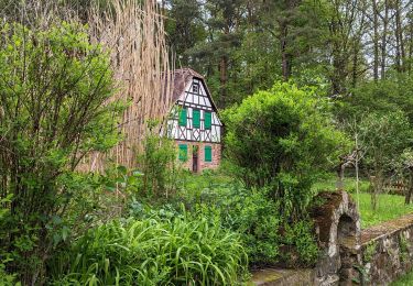
Au départ de Lembach vous rejoindrez l'étang de Hanau en passant par Obersteinbach (BCN/BPF) village aux multiples fontaines.
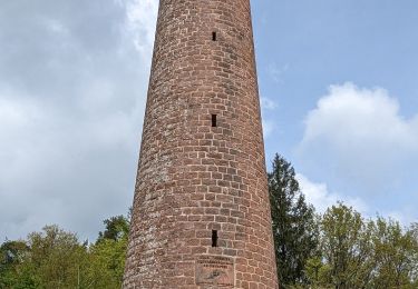
De là, direction la pierre des Douze Apôtres, ancien menhir qui devait servir pour les sacrifices, les sculptures sont du XVIIIe siècle.
Et vous arriverez à Wingen sur Moder et son musée Lalique.
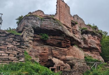
Une petite grimpée et voici à La Petite Pierre, perle de verdure dans les Vosges du Nord.
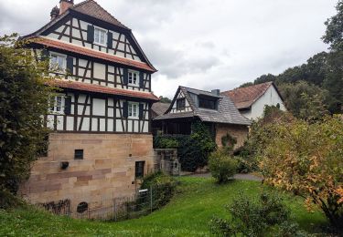
Une petite incursion en Alsace Bossue pour rejoindre Graufthal et ses maisons troglodytes.
Puis retour à Lembach en passant par Griesbach le Bastberg, de la route vous apercevrez la croix gigantesque sur la colline qui marque l’endroit où au moyen-âge on brulait les sorcières.


Randonnée équestre

Marche

V.T.T.
Randonnée équestre
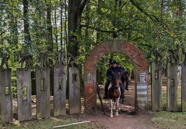
Randonnée équestre
Randonnée équestre
Randonnée équestre
Randonnée équestre
Randonnée équestre