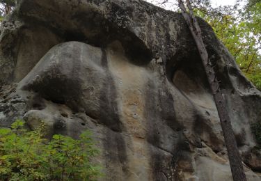
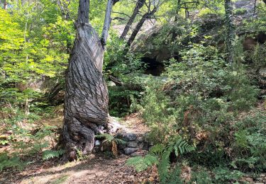
5,9 km | 10,9 km-effort
LBN Très d Annot
Tinant
Utilisateur
Longueur
5,3 km
Altitude max
1031 m
Dénivelé positif
354 m
Km-Effort
10,1 km
Altitude min
689 m
Dénivelé négatif
353 m
Boucle
Oui
Date de création :
2019-05-17 12:03:35.183
Dernière modification :
2019-05-17 14:21:44.153
2h17
Difficulté : Difficile
Application GPS de randonnée GRATUITE
À propos
Randonnée Marche de 5,3 km à découvrir à Provence-Alpes-Côte d'Azur, Alpes-de-Haute-Provence, Annot. Cette randonnée est proposée par Tinant.
Description
difficiles ascensions
Localisation
Pays :
France
Région :
Provence-Alpes-Côte d'Azur
Département/Province :
Alpes-de-Haute-Provence
Commune :
Annot
Localité :
Unknown
Départ:(Dec)
Départ:(UTM)
312868 ; 4870712 (32T) N.
Commentaires
Randonnées à proximité
Le Grès d'Annot
A pied
Facile
Annot,
Provence-Alpes-Côte d'Azur,
Alpes-de-Haute-Provence,
France
2h 28min
Oui
J4 Annot
Marche
Moyen
Annot,
Provence-Alpes-Côte d'Azur,
Alpes-de-Haute-Provence,
France
6,2 km | 11,3 km-effort
2h 34min
Oui
Les Grès d'Annot
Marche
Moyen
Annot,
Provence-Alpes-Côte d'Azur,
Alpes-de-Haute-Provence,
France
5,8 km | 10,8 km-effort
2h 9min
Oui
Rando gastro Roncharel
Marche
Moyen
Annot,
Provence-Alpes-Côte d'Azur,
Alpes-de-Haute-Provence,
France
5,8 km | 11,9 km-effort
2h 42min
Non
Les grès d'Annot
Marche
Moyen
(1)
Annot,
Provence-Alpes-Côte d'Azur,
Alpes-de-Haute-Provence,
France
11,5 km | 19,2 km-effort
6h 2min
Oui
Rando bleue
Marche
Facile
Annot,
Provence-Alpes-Côte d'Azur,
Alpes-de-Haute-Provence,
France
3,9 km | 5,8 km-effort
1h 22min
Oui
Rando Pieŕre qui tremble Chabrieres Peloussis Argenton
Marche
Moyen
Braux,
Provence-Alpes-Côte d'Azur,
Alpes-de-Haute-Provence,
France
14 km | 22 km-effort
6h 27min
Oui
Grès d'Annot Carte IGN 3541OT
Marche
Moyen
Annot,
Provence-Alpes-Côte d'Azur,
Alpes-de-Haute-Provence,
France
11,3 km | 21 km-effort
7h 23min
Oui
Les grès d'Annot-20-05-22
Marche
Moyen
Annot,
Provence-Alpes-Côte d'Azur,
Alpes-de-Haute-Provence,
France
6,8 km | 12,4 km-effort
2h 20min
Non