


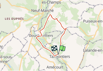

10,7 km | 12,1 km-effort


Utilisateur


Application GPS de randonnée GRATUITE
 SityTrail
IGN / Instituts géographiques
SityTrail World
Le monde est à vous
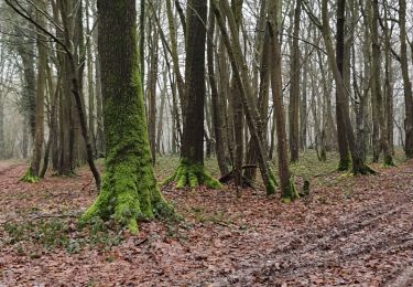
Randonnée Marche de 10,2 km à découvrir à Hauts-de-France, Oise, Talmontiers. Cette randonnée est proposée par Marie-Claire-mcp.
Talmontiers et chemin du moulin jusqu'à Bouchevilliers, traverser le village et prendre le chemin jusqu'à Montel, prendre le GR qui grimpe vers les boulards, puis direction Bois des Haut Monts et retour à travers bois sur Talmontiers

Marche nordique
Marche nordique

Marche
Marche
Marche
Marche
Marche
Marche
Marche